Overview:
For
over a decade, iSpatial Techno Solutions provides smart solution frameworks
that delivers the value proposition to our clients in the area of Location
based Geo Enabled solutions (GIS- 3D and 2D), Web/Mobility solutions, Business
Analytics, Business Process Automation and Enterprise Integration Solutions.
Our innovation team works extensively building solutions using envision
technologies like ESRI Suit of products, Artificial Intelligence, IoT and Big
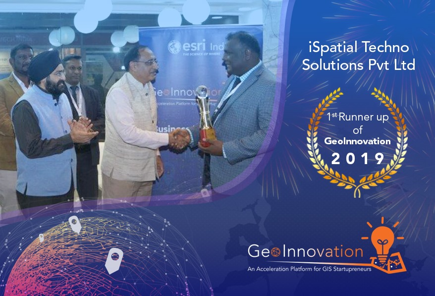
data analytics. iSpatialTec has been providing award-winning solution
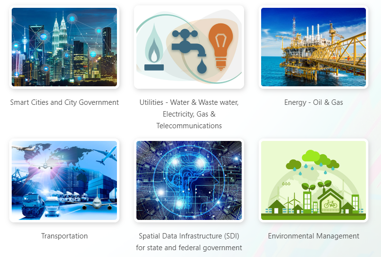
implementations to our customers in various industry domains such as Utilities
(Electrical, Water, Gas and Telecom), City Government, Oil & Gas and
Transportation. We have four offices across the globe – California - USA , Abu
Dhabi - UAE and offshore development centers in Hyderabad -India.
Solutions and Services :
iSpatialTec started with a vision of providing a smart solution to automate the business process into a Software solution. We have successfully built the Rapid Solution development platforms which will help to quickly deliver high-quality solutions with optimized cost. We have successfully built 5 smart solution frameworks which will help us to deliver the value proposition to our clients in the area of Location based Geo Enabled solutions (GIS- 3D and 2D), Web/Mobility solutions, Business Analytics, Business Process Automation and Enterprise Integration Solutions. Our innovation team also working extensively building solutions using envision technologies like Artificial Intelligence, Deep learning, Augmenting Reality, Virtual Reality, 3D solutions, Automation and Big data analytics.
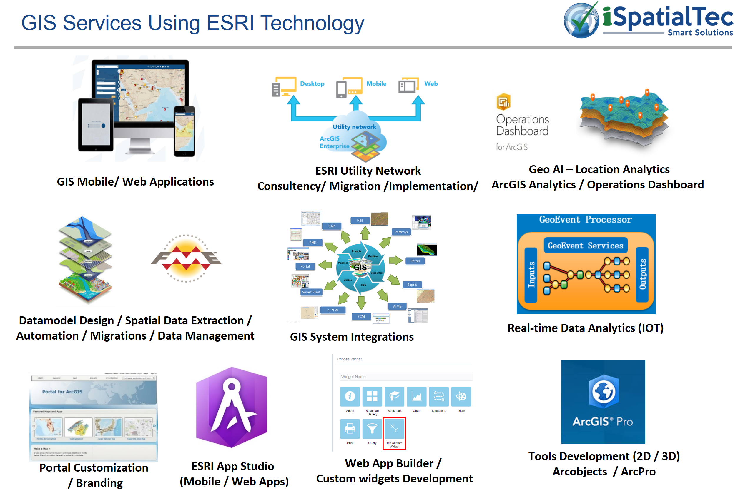
- Enterprise GIS Deployment and Development Services
- ArcGIS Enterprise setup, and configuration
- ArcGIS Online setup and configuration
- Portal for ArcGIS
- ArcGIS Hub
- Utility Network Migration
- Web Application Development
- Experience Builder
- Web AppBuilder
- Operations Dashboard
- Story Maps
- Navigator for ArcGIS
- Survey123
- Utility Network Consultancy and Migration
- Mobile Application Configuration and Development
- Collector for ArcGIS

iSpatialTec has been delivering technology solutions globally which facilitate efficiency, increased productivity, performance, transparency and online workflows, incorporating built in processes, controls, programs and interfaces. Our solutions aid in quick decision making which is facilitated by the analysis of various data sources and business logic rules, leading to increased efficiency and productivity at all levels.


Braein is a smart IOT analytics and AI based solution, which helps to build live monitoring intelligence dashboards, predictive analytics based on the deep learning algorithms, location intelligence, speech recognition and analyzing patterns from historical data.
Improve Operational efficiency, save time and cost, Improve accuracy of information.
Optimizing the business operations and improve operational efficiency, live and accurate information is essential. Most of the systems are working independently and providing the monitoring platforms. Connecting all live systems to the centralized big data environment to perform live condition monitoring, alerts and notification helps in optimizing the business operations. Also Location based AI analytics helps for taking smart operational Decisions.
Technology: Dialogflow, Tensorflow, Predictive Analytics, IOT Integration, ESRI Location Analytics, BI Reports, Content management, Big Data, System integration, Robotics API.

Web and Mobile-based GIS application (2D/3D) framework for managing assets and streamline workflows.
With Smart Geo Apps you can build cost effective Geo enabled applications with optimized time. Optimized insights of your business, through analysis, Data visualization and reports using your spatial data.
- Quickly develop Geo Enables Application as per your specific Business requirements
- Easily maintained, Extend the functions as per the business maturity.
- Deliver great UI using latest technology framework like HTML-5 and Bootstrap framework can be accessed in mobile and Web browser.
- Can easily integrate with any other business systems
- Easy to build geo enables KPI dashboard and analytical reports.
- Support latest ESRI ArcGIS 10.7 environment.
- Smart Geo Framework easy to upgrade to new version of ESRI environment.
- Well integrated with Portal for ArcGIS environment and ArcGIS Online.
- Can easily integrate with live feed data system and provide Geo Enabled online dashboards.

eSmart Permit is a web-based online solution to automating your work permit approval process easy.
- Automate the Permit Business Process.
- Easy to monitor the progress.
- Configure KPI’s for the approval process.
- Easy to use the solution.
- Easy to extend the functionality.
- Location-based spatial analysis.
- Audit log and history
- Save time & Cost

Smart Field Geo is a field mobile application to perform on-the-spot location analysis and to take accurate decisions during the field operations
- Map Navigation tools
- Search with facility ID
- Search with work order number
- Buffering Analysis (Spatial Query)
- Identify facilities details
- TOC with layers On/Off
- North Arrow, scale bar.
- Redlining, Offline Data viewing
- Export Map, Email Map (Optional)
- Import Utilities layers to GIS application from the server location.
eCube Apps is a cloud based data collection and analysis solution which can be used for Field Data Collection, Online Registrations etc.
eCube Software is a rapid application development platform for building Web and Mobile-based business applications in quick time & less cost.


