Featured
With the organization’s people and operations dotting the globe, ArcGIS deployed across the enterprise is key for knowledge management.
 Urban Planning
The app, built with ArcGIS Experience Builder and ArcGIS Survey123, shows whether housing projects can access simpler environmental reviews.
 Collaboration
Find out how to attend summits at the Esri UC, discover the state of US infrastructure, and explore live camera feeds in California.
 Esri Developer Summit
Participants learned how to architect enterprise GIS, configure custom solutions, extend systems, integrate ArcGIS with AI, and much more.
 AEC
AEC
ArcGIS for Autodesk Forma enables architects, GIS managers, and civil engineers to seamlessly incorporate ArcGIS data into their projects.
 ArcGIS Living Atlas of the World
The team employed ready-to-use content and capabilities from ArcGIS Living Atlas of the World, serving as a use case for a new tutorial.
 ArcGIS Online
They can create multistep workflows that automate tasks ranging from simple operations to complex analyses.
 ArcGIS Pro
“I would not go back to ArcMap if you told me to,” said Maury County GIS analyst Johnny Stephens, who was initially skeptical of the change.
 Utilities
Esri partner Black & Veatch’s LCRR program management platform helps inventory water pipes for lead and copper and keep the public informed.
 ArcGIS GeoBIM
Esri partner ARC-GREENLAB gathered detailed data of the long-abandoned rail link and used GIS to build models for planning and construction.
 GIS Hero
Dr. Patricia Carbajales-Dale has used GIS her entire career to assist others—whether teaching the technology or responding to disasters.
 Managing GIS
Develop a personal kanban—a productivity method that shows, visually, work that’s not started, work that’s underway, and work that’s done.
 Thought Leader
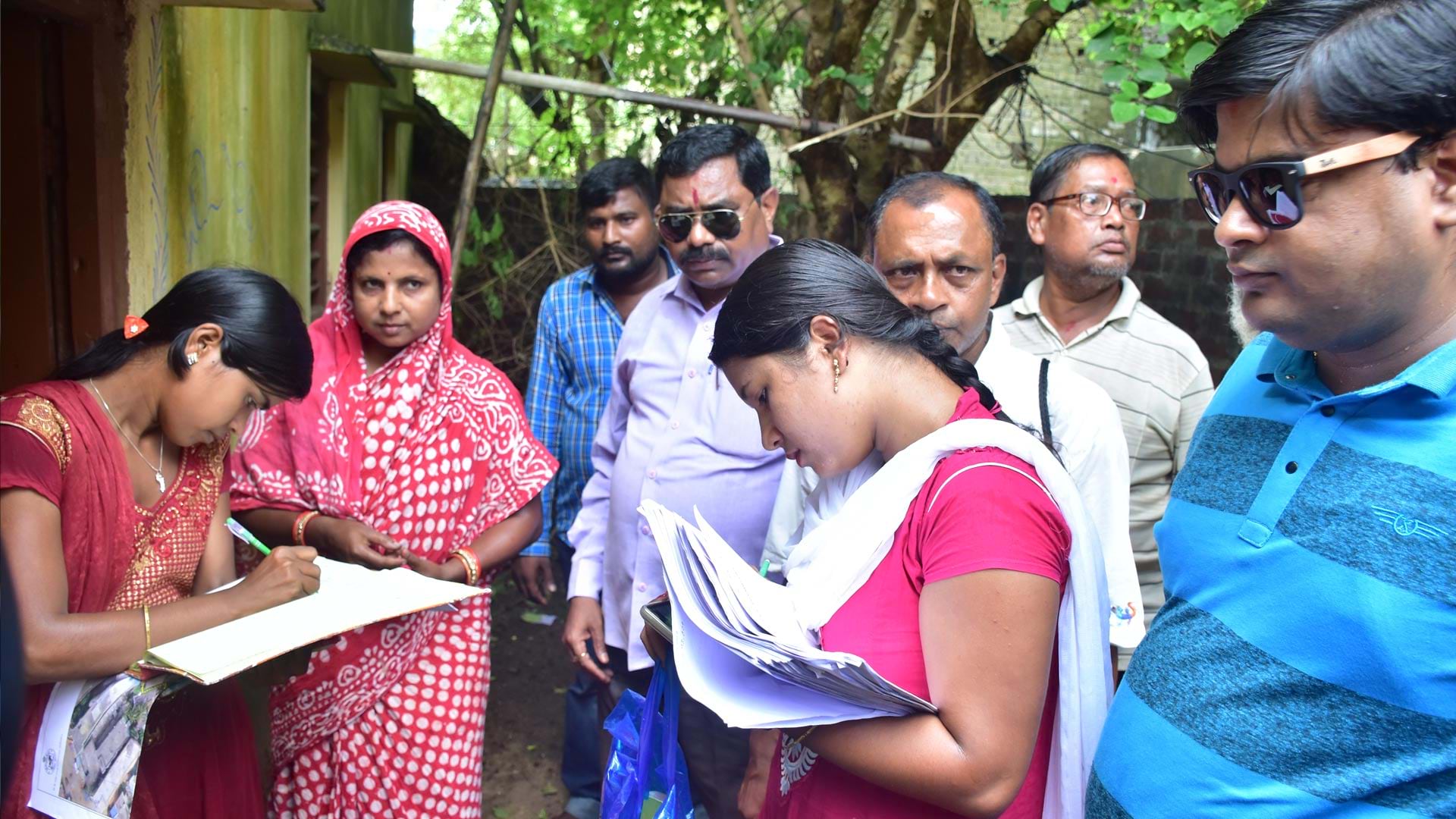
Powered by Esri technology, Cadasta’s platform and training have helped communities in 50 countries map over 115,800 square miles of land.
 Esri Startup Partners
Staff now have real-time insight into operations, leverage prescriptive analytics, and benefit from AI-enhanced decision-making.
 Esri Partners
At the 2025 Esri Partner Conference, Esri recognized nine partners for helping customers implement and optimize ArcGIS technology.
 Esri Press
See how maps tell rich stories, explore how to make maps for people with visual impairments, learn how to use Python in ArcGIS, and more.

