We have to remember that GIS is not [only] mapping. That’s just a piece of it. It’s the data inputs and the outputs, and the coordination that takes place on the backend that paints the picture and helps us with our decision process.
상황이 발생하는 즉시 더 현명한 의사결정 내리기

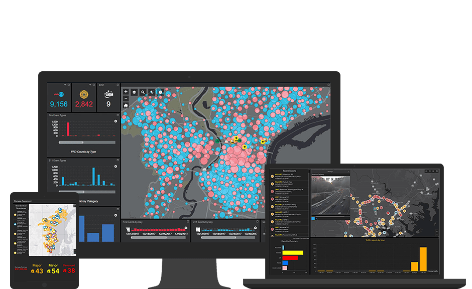
실시간 GIS와 상황 인식을 통해 여러 센서, 기기, 소셜 미디어 피드에서 스트리밍되는 데이터를 동시에 통합, 분석, 표시할 수 있습니다. 현장에서 일어나는 일에 대한 최신 인텔리전스를 통해 미션을 달성할 수 있도록 실시간 데이터를 자동으로 세부 조정하고 집중시키는 필터 및 위치 기반 분석을 여러 관할권에 걸쳐 정의할 수 있습니다. 이것이 바로 정부기관 내 모든 수준의 경찰서, 소방서, 긴급/재난 관리 기관이 운영 및 파견 센터에서 Esri의 실시간 GIS 기능을 활용하는 이유입니다.
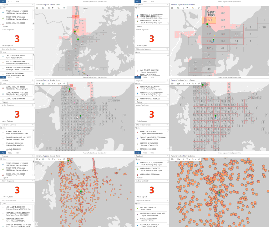
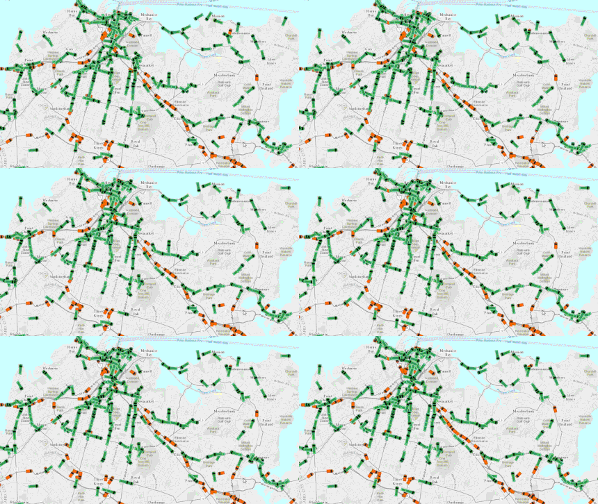
이동하는 물체의 위치를 파악하고 전체 차량, 선박, 항공기를 실시간으로 추적하면 즉각적으로 의사결정을 내려 상황 인식을 개선할 수 있습니다. 항구, 공항, 교통 회사, 정부기관은 모두 Esri의 실시간 GIS 기술을 활용하여 리소스를 최적화합니다.

이제 GIS를 통해 사회 활동의 위치와 연결을 실시간으로 분석할 수 있습니다. 실시간 데이터를 사용하면 소셜 피드, 지리 위치 트윗, 사진, 동영상 등의 여러 플랫폼에 걸쳐 통합, 검색, 스트리밍할 수 있으며 디지털 이미지, 도로 네트워크, 지형도, 커뮤니티 베이스맵 컨텍스트 내에서 볼 수 있습니다. 그런 다음 이 데이터를 추가적인 컨텍스트를 위해 공공안전 자산, 도시 인프라, 유틸리티 네트워크, 위험 물질 및 인구통계 데이터 등의 기타 정보와 함께 계층화할 수 있습니다.

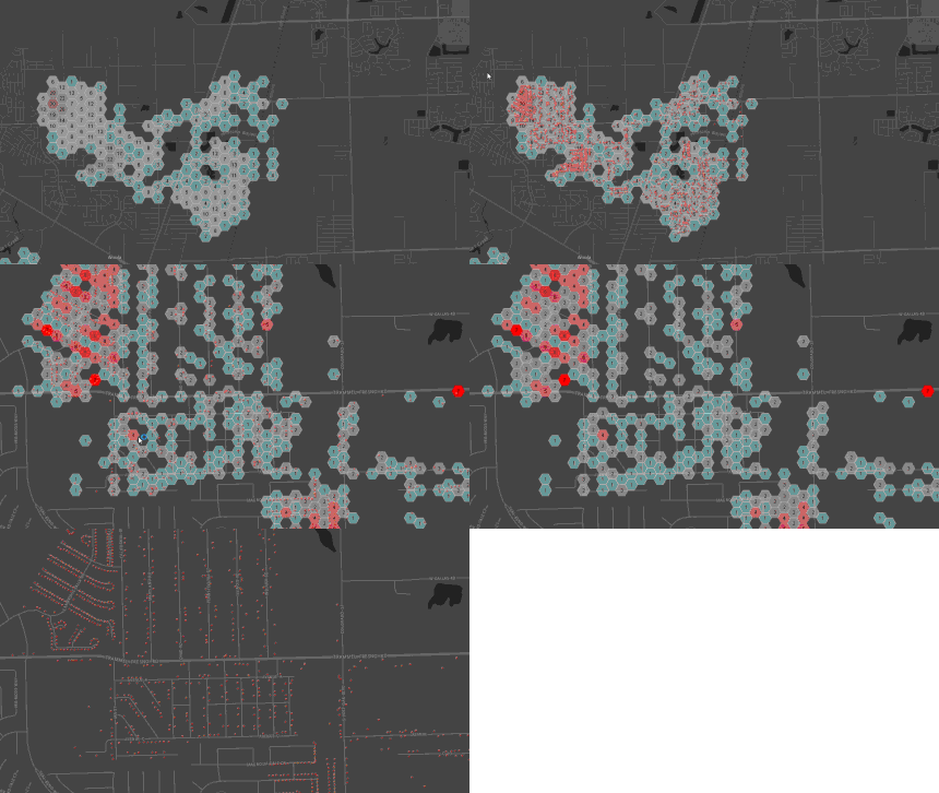
관심 이벤트가 발생하는 경우 맵과 데이터베이스가 자동으로 업데이트되며 이와 동시에 이해관계자에게 알림이 전송됩니다. 또한 이전 운영 데이터를 인프라 데이터와 빠르게 통합하여 추세, 패턴, 이상치를 발견할 수 있습니다. 데이터를 실시간으로 확인하면 더욱 정확한 정보에 입각한 의사결정을 내릴 수 있을 뿐만 아니라 기관이 이러한 의사결정을 행동으로 전환하는 데도 도움이 됩니다.


We have to remember that GIS is not [only] mapping. That’s just a piece of it. It’s the data inputs and the outputs, and the coordination that takes place on the backend that paints the picture and helps us with our decision process.
케이스 스터디
전 세계 최대의 재난 복구 기관 중 하나인 미국 적십자사는 8분에 1회 꼴로 긴급 상황에 대응합니다.
케이스 스터디
매년 봄, 5월의 첫 번째 토요일에 열리는 버지니아 골드컵 장거리 장애물 경마에는 많은 승마인과 팬들이 모입니다. 이 이벤트는 우수한 말을 많이 배출한 것으로 유명한 이 버지니아주 카운티에서 연중 가장 중요한 사회 행사로, 미국 내 승마 및 사냥 커뮤니티의 중심이라 할 수 있습니다.
케이스 스터디
최근의 총기 난사 사건을 고려하여 시카고 경찰청에서는 연방수사국(FBI), 연방재난관리청(FEMA), 미국국토안보부(DHS), 일리노이주 경찰청(ISP), 기타 기관, 비영리단체와 더불어 주둔 인력을 강화했습니다. 시카고시는 주요 특별 이벤트 관리에 GIS를 점점 더 폭넓게 활용해 나가고 있습니다.
케이스 스터디
샌안토니오에서 NCAA 4강이 열린 주말에는 Hemisfair Plaza에서 3일 동안 진행되는 음악 페스티벌, Henry B. Gonzalez 컨벤션 센터에서 진행되는 팬 페스티벌, 알라모돔에서 열리는 경기도 함께 열렸습니다. 모든 행사장이 서로 도보로 이동 가능한 거리에 있어, 이 도시의 조그만 시내에 수많은 인파가 모여들었습니다. 샌안토니오는 안전을 보장하기 위해 대규모의 현장 경찰 인력을 배치했습니다.
저희가 도와드리겠습니다. 아래의 양식을 작성하여 실시간 상황 인식을 시작하기 위해 무엇이 필요한지 알려주세요.