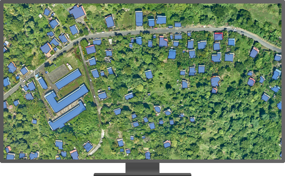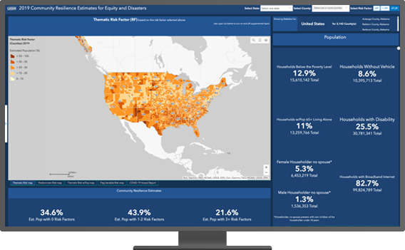
The world we live in is increasingly challenged. Changes in population, over-consumption, sustainability—these are some of the things we can begin to understand with GIS and data. The 2020 Census gives us the opportunity to collect better and more accurate data that can help us with understanding. With the 2020 Census, many more countries, including the United States, are using GIS to bring together maps with rich data sources combined with powerful analytic tools to bring better understanding.


