Reopening

Tools for reopening during COVID-19

Monitor, assess, and communicate with location intelligence

For urgent GIS help, contact Esri’s Disaster Response Program

Request assistance

Reopening during the COVID-19 pandemic

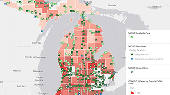
Location intelligence is at the center of a coordinated reopening plan amid coronavirus disease 2019 (COVID-19). It provides leaders with tools to map, analyze, and assess trends and potential impacts, helping balance reopening businesses and the community with public health.

Monitor

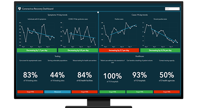
Collect public health and economic data using maps and dashboards to monitor reopening benchmarks. Anticipate where to take corrective action.

Assess

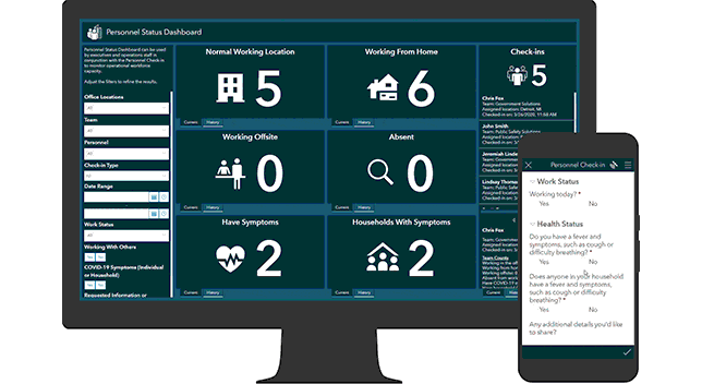
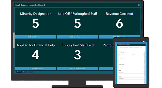
Analyze data trends and assess impacts on organizational or community resilience. Target specific actions to mitigate impacts during reopening.

Communicate

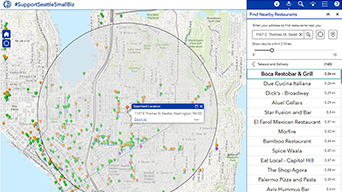
Use maps and data to provide context and insights into evolving priorities. Show how you are balancing economic recovery with public health.

Contact Esri for assistance

Five spatial approaches for reopening

Map the trends

With up-to-date time-enabled maps, monitor the overall cases-per-day trend and the most recent two-week case trends to determine a community's readiness to reopen.

Get the ArcGIS solution
Infographic showing changes in data over time

article

COVID-19 Vaccine Distribution Solutions Available

Learn more about the new Coronavirus Vaccine Outreach and Coronavirus Vaccine Distribution Dashboard solutions.

Read the announcement

Request a call


Contact us to get started using GIS for response and to get mapping tools for combating COVID-19.