Online maps are changing the way Sempra Global managers communicate internally, helping them make faster and smarter business decisions.
Sempra Global is a holding company for Sempra Energy, which generates, transmits, and distributes energy for more than 31 million customers worldwide. Sempra Global manages diverse assets such as pipelines, wind turbines, liquefied natural gas terminals, and hydroelectric generating facilities.
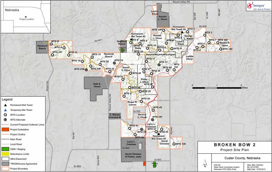
Maps are an important resource at Sempra Global, which maintains data on its assets and projects using Esri ArcGIS. Maps created in PDF or JEPG format by the company’s GIS team have long been used to share that data with Sempra engineers, managers, senior vice presidents, and directors, especially in presentations and meetings.
Static maps, however, didn’t always show the extent or detail needed to answer specific questions that came up in meetings. Getting the answer might require returning to the GIS team and requesting a new map.
“If someone wanted to see information in greater detail, we would have to start a whole new map request,” said Joel Griffin, senior GIS analyst for Sempra Global. “I didn’t like the sense I was hoarding all this valuable information.”
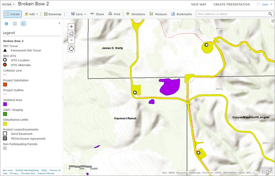
Griffin wanted to bring the maps to life so that everyone, whether they were trained in GIS or had never heard of it, could access and analyze the maps in real time. So he convinced the company’s IT department to get his team an ArcGIS Online subscription. The subscription was part of an enterprise license agreement (ELA) with Esri. With it, Griffin’s team could create real-time, interactive web-based maps to supplement the static maps Sempra had been using.
Now if the managers in a meeting want to get a closer look at a transmission pipeline or find more information about it, they click and zoom in on a web map. There’s no need to request another map.
Reducing the number of map requests freed up time for Griffin and his team to improve the quality of Sempra’s data. This quickened and strengthened business decisions.

Sempra Global capitalized on the additional benefits that come with an ELA. Access to maps and data could be controlled. Users were authorized to access only those maps and data that were related to their projects, improving security. The GIS team eliminated redundancy in data files by consolidating data that previously existed in various folders, servers, and hard drives. From these, the team built a single source that can be centrally maintained, eliminating multiple and possibly conflicting versions of the same dataset.
With online maps, more people can access the data. More than 50 Sempra Global employees directly use the web maps. Engineers, developers, project managers, and executive staff can log in and access what they need without requesting that data from anyone.
“Before, only GIS-savvy people could use and access the data,” Griffin said. “Now the data is available to everyone who wants to know.”
With information instantly accessible, employees can move faster.
“It is vital to get the information into the hands of those who need it instantly to make better decisions,” Griffin said. “Now we are giving our users the chance themselves to explore data, which has empowered them to think and collaborate in ways not available to them before. Everyone sees this as a useful tool that you can reference, that you can use all the time.”

