A few years ago, geographic knowledge paid off for Shane C. Matthews. The Esri cartographer was hiking in the rugged Mount Evans Wilderness Area in Colorado. Because he was familiar with the trail, Matthews had set out without a map or compass. However, when the trail he was following fizzled out, he didn’t panic.
“I knew the whole watershed was spilling into Bear Creek, so if I followed the stream, I would eventually hit that creek and could get my bearings from there,” said Matthews. And that’s exactly what happened. “It worked out fine,” said Matthews. “My background is in physical geography, so that is what I relied on without getting too nervous.”
That incident notwithstanding, Matthews and maps typically go hand in hand. The 45-year-old Virginia native and outdoorsman earned a bachelor of science degree in geography from Appalachian State University in North Carolina. He worked at the National Geographic Society from 1999 to 2011. As a production cartographer there, he created and edited map products. Later, as a product manager, he oversaw development of the Trails Illustrated Topographic Recreation Maps and Adventure Travel map series.
Matthews joined Esri in 2011 as a cartographic specialist. He recruits organizations to provide content, including imagery, for use in the Living Atlas of the World, a vast and evolving online compilation of authoritative maps, apps, Esri Story Map apps, scenes, and layers on a wide variety of themes. This collection has approximately 4,000 basemaps; imagery; historical maps; story maps; and maps with information on demographics, lifestyles, boundaries, the landscape, traffic, transportation systems, and earth observations (e.g., precipitation, snowfall, and earthquakes).
It’s a Massive Undertaking
Matthews and others reach out to Esri partners, distributors, and government organizations worldwide and request authoritative data to add to the atlas. According to Clint Brown, director of product engineering at Esri, Matthews is helping spearhead the effort to encourage ArcGIS technology users to contribute to and use Living Atlas of the World content. “We are building the GIS of the world collectively,” Brown said.
Such a huge, cooperative effort needs people like Matthews. In addition to having a great affinity for maps, Matthews is a people person. “I enjoy talking to people, and I like to look at maps all day,” said Matthews. “I like talking about maps and evangelizing maps and creating maps when I can.”
Growing Up Spatially Aware
Matthews was raised with his younger brother, Ryan, in Richmond, Virginia. The city is steeped in Revolutionary War and Civil War history. During the Revolutionary War, Benedict Arnold, the famous American defector, led British troops in a successful attack on the city in 1781. Richmond was the capital of the Confederate States during the Civil War.
His parents, Tom and Joyce, weren’t geography buffs but they nurtured their elder son’s interest in history. When Shane and Ryan were both in grade school, Tom took them to Jamestown, Williamsburg, Appomattox, and other historical sites.
Visiting historic sites and monuments near his hometown helped Matthews better understand the geographic context of the events that had occurred there. “I was really interested in history,” he said. “Being able to visit these places and see them was really awesome.”
Looking back, Matthews says that the military commanders were, in a way, geographers. “They had to have a sense of the lay of the land, the topography and how to negotiate that, and the easiest way [to get] to places and the easiest way to get out,” he said.
While weekend outings to historic sites helped Matthews understand where he lived relative to other places in Virginia, a road trip to see his grandparents in Columbia, South Carolina, introduced him to maps.
“Back then, the speed limit on the interstate was 55 miles per hour. It would take forever to get there—eight hours,” Matthews recalled. “My dad kept an atlas in the back of the car. Maybe it was because I was wondering how long I would have to deal with this, but I would pick up the atlas and look at the signs, and then use the map to figure out where I was and how long it might be before this trip was over. I think that’s when I became a lover of maps.”
However, years would pass before mapping as a profession entered Matthews’s consciousness.
Dirt, Rocks, and Trees
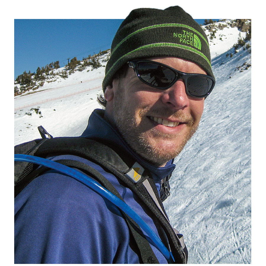
Just an average student in high school, Matthews was unsure what he would do with his life. He drifted through several colleges and jobs waiting tables before enrolling in Appalachian State University in Boone, North Carolina. His parents had moved from Richmond to Salisbury, North Carolina, and Matthews liked to hike in the mountains around Boone.
Matthews might have never ended up in Evergreen if he hadn’t attended Appalachian State University, which required students to take a physical geography course called Soils, Vegetation, and Landforms to graduate.
“We called it Dirt, Rocks, and Trees,” Matthews said. “That course dealt with geology and geomorphology, weather and climate, how mountains are formed, how rivers and watersheds behave, and how the physical environment works. For some reason, I found that fascinating.”
Matthews was hooked. He became a geography major and started making As instead of Cs. He even took a GIS course that introduced him to ARC/INFO, Esri’s early command-line-based GIS software.
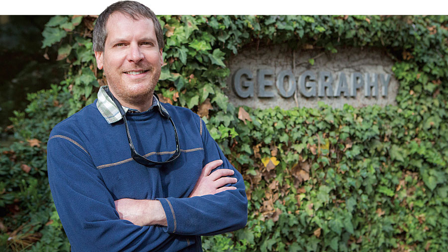
He still loves the mountains and enjoys living today in Evergreen, Colorado, with his wife Natalie—also a geographer—and their son. “I just think flat’s boring,” he said. “I like the beach. I like the desert. I like things with visual appeal. I like some topography in my life.”
Becoming “Map Man”
After a stint as a data analyst and geographer for the Western Piedmont Council of Governments, Matthews moved to Evergreen, where he took a job as a seismic data specialist for the United States Geological Survey (USGS).
The National Geographic Society hired him as a cartographer in 1999 to work on the society’s recreational trail and adventure maps. During a dozen years there, he learned map production from top to bottom. He gathered the locations of rivers, trails, parking lots, and restrooms from land management agencies, assigned line styles and specifications to editing maps, and placed the information in a GIS as part of the initial production process. Later, Matthews took on a managerial role. He supported the budgeting process and provided information for press releases about the maps that were created in the Colorado office.
Matthews uses many of the skills he acquired at National Geographic in his work for Esri. Currently he focuses on acquiring authoritative imagery from all over the world. For example, he and his team are working with Imagem Geosistemas e Comércio Ltda. (Esri’s distributor in Brazil) to obtain high-resolution imagery of the venues for the 2016 Summer Olympics. He’s also the editor of Esri News for the Living Atlas Community, an email newsletter that keeps readers up to date on the content that is constantly being added to the Living Atlas of the World and how that content is being turned into useful web maps and apps.
Promoting Geography
Matthews lives and breathes geography, which is why he finds the waning of geographic literacy among Americans alarming. Learning geography is not just about knowing where places are located on a map, said Matthews. “Understanding geography,” he said, “means having a good understanding of different cultures, countries, economies, and social systems.”
He recently heard about the 2015 report issued by the United States Government Accountability Office that said that almost 75 percent of eighth graders scored at levels below proficient in geography. “It’s disappointing,” said Matthews, who says social studies and geography were core subjects when he was in school. “It seems that’s lost its importance to educators or the folks who design the curriculum. I’m not sure why.”
So he’s doing his part to counter the trend. Matthews said he will soon be a volunteer with the Outdoor Lab Foundation, based in Lakewood, Colorado. The nonprofit organization gives all sixth graders in Jefferson County, where he lives, the opportunity to spend one week living in a camp, learning outdoor skills such as trail building, and applying academics in a wilderness setting.
Matthews said he would like to help the kids build the trails, and then teach them how to create Esri Story Map apps of the trail system, with points of interest along the way highlighted with photographs and videos.
Raising a Geo-Jedi
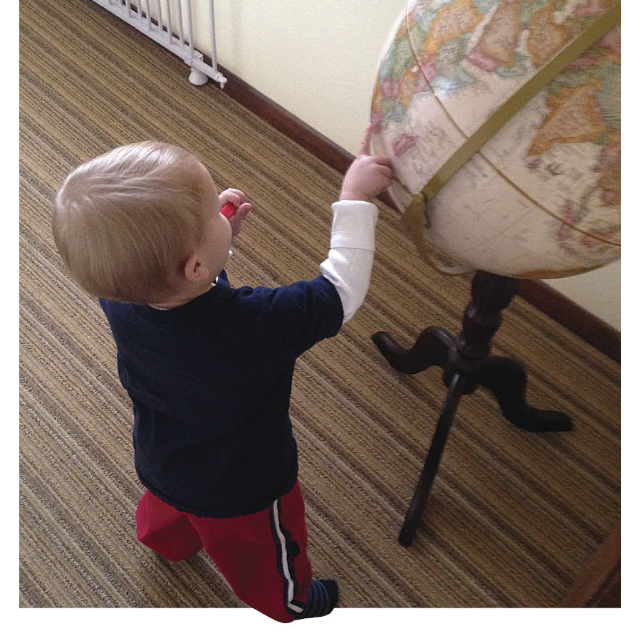
At home, Matthews does his best to make sure his son, Miller, knows his geography. The toddler’s reading list includes Here’s a Map on My Lap! and the National Geographic Kids Beginner’s World Atlas.
Matthews and Miller spend time putting together a world puzzle that has 24 pieces emblazoned with flora and fauna. “I usually put it together, and he likes to rip it up,” Matthews said, laughing.
But Matthews believes that on some level, the information sinks in. He and his wife put a globe outside their son’s bedroom. When Miller is brushing his teeth, Matthews will point out countries on the globe. “He will recognize a place that I showed him, even days later.”
Before his son was born, Matthews found a special map online. A friend, who works for the website, presented Matthews with The Miller Cylindrical Projection map that now hangs in the boy’s bedroom. That really delights his dad.
Map was one of the first words Miller learned. “The poor kid is destined for a life of geography,” said Matthews, who is a kind of geo-Jedi master to his son. “The satisfying thing is when I wake him up, he points to the map and says map. I don’t think he appreciates a map as an information product, but I think, eventually, he will get that. I have already brainwashed him. He’s my young apprentice.”
