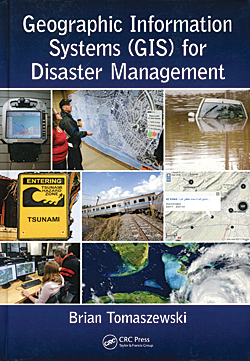
Geographic Information Systems (GIS) for Disaster Management
By Brian Tomaszewski
Students who are interested in obtaining a solid understanding of how GIS capabilities can be applied for more effective disaster management are the target audience for this book. In addition to reaching this primary audience, the book’s author seeks to raise awareness of and advocate for greater integration of GIS with disaster management practice. No knowledge of GIS or any GIS software is assumed by the text. In addition to introducing GIS, chapters cover the application of GIS to disaster planning and preparedness, disaster response, disaster recovery, and disaster mitigation. The author, Brian Tomaszewski, is a geographic information scientist and assistant professor in the Department of Information Sciences and Technologies at the Rochester Institute of Technology (RIT). His background in disaster management includes work with international organizations that apply GIS to disaster management such as the United Nations ReliefWeb, United Nations Office for Outer Space Affairs Platform for Space-based Information for Disaster Management and Emergency Response (UN-SPIDER) group, and United Nations Global Pulse. He has also mentored students in a National Science Foundation (NSF)-funded Science Master’s Program that produces graduates with a systems understanding of the disaster management cycle. A past contributor to ArcUser, he most recently coauthored “A Serious Game for Measuring Disaster Response Spatial Thinking” in the Summer 2013 issue. CRC Press, 2014, 295 pp., ISBN-13: 978-1482211689

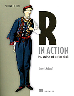
R in Action: Data analysis and graphics with R, Second Edition
By Robert I. Kabacoff
Big data is increasingly a big deal, and R has become the language of choice for many data scientists. R is a well established and widely used open-source language and environment for statistical computing. Thousands of data management, statistical, and graphical functions (known as packages) have been contributed and are available. While ArcGIS users have been using R for some time, the integration of R and ArcGIS has become much tighter with the release of ArcMap 10.3.1 and ArcGIS Pro 1.1. At these releases, native R scripts can be run directly as script tools in ArcGIS, and R can access ArcGIS data and will honor selection and projection parameters.
ArcGIS users who would like to take advantage of the existing functionality in thousands of R packages but are unfamiliar with R may find R in Action: Data analysis and graphics with R a good introduction and a useful resource. Written as a “Missing Manual for R,” it is not a tome but an introductory text. The general audience for this book is anyone who deals with data. A statistical background is not assumed. Code examples were chosen from a wide range of disciplines. The book’s five sections provide an introduction to the R language; basic, intermediate, and advanced methods; and ways to extend newfound R skills. These chapters describe more than 90 of the most useful contributed packages. GIS users may find the chapter on regression analysis, located in the intermediate section, of particular interest. The second edition includes 200 pages of new material dealing with data mining, predictive analytics, and advanced programming. Manning, 2015, 579 pp., ISBN-13: 978-1-617291-38-8

