
Acquiring the Right Imagery for the Right Job: Unlocking Data Value and Purpose
Discover the importance of acquiring accurate and relevant imagery for specific job requirements in our upcoming webinar.

Enhance your GIS workflows

Discover the importance of acquiring accurate and relevant imagery for specific job requirements in our upcoming webinar.
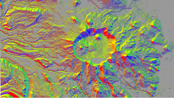
In this webinar, imagery experts will show you how a total image and remote sensing management system doesn’t simply store data. Instead, it allows you to store, search, and discover data and to set the stage for deep analysis, AI, and reality mapping.

Join drone industry experts for an in-depth webinar on starting and enhancing your drone operations.