Webinars
Support missions, workflows, and operations
Stay on top of trends, technical advancements, and best practices related to GIS in public safety

UPCOMING WEBINAR
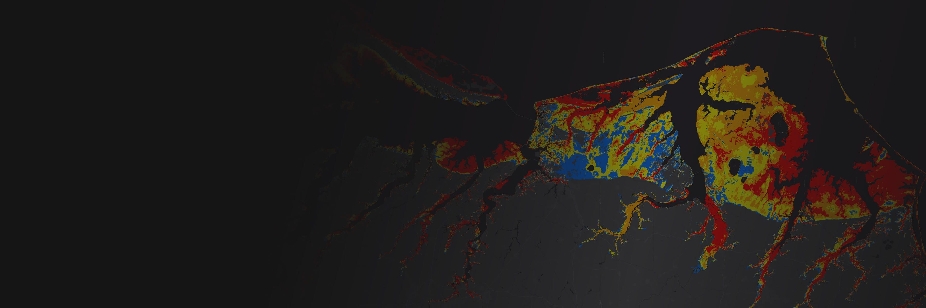
Home Fire Fatalities Explorer
Date: August 28, 2025
Time: 9:00 AM-10:00 AM (Pacific Time)
Location: Virtual
Cost: No Cost
Language: English
The Home Fire Fatalities Explorer application is designed to analyze and present detailed information on home fire fatalities and social vulnerability scores across U.S. counties. The primary purpose of the application is to help users understand the vulnerabilities related to home fire fatalities by utilizing the National Risk Index Social Vulnerability Scores. The data sources for the application include the USFA's Home Fire Fatalities in the News and the National Risk Index, which compile information on home fire fatalities and community risk factors. Please join our team as we discuss the evolution of this tool, showcase its use and latest features, along with the future vision.
UPCOMING SPONSORED WEBINAR
GIS for Fire Service Excellence: Accreditation, Risk Analysis, & Standards of Cover Development
Date: September 3, 2025
Time: 8:00 AM-9:00 AM (Pacific Time)
Location: Virtual
Cost: No Cost
Language: English
Join Esri for an insightful webinar in partnership with the Center for Public Safety Excellence (CPSE) to explore how Geographic Information Systems (GIS) empower fire and rescue agencies to achieve accreditation, enhance risk analysis, and develop robust standards of cover. Discover how GIS technology enables data-driven decision-making by mapping community risks, optimizing resource deployment, and assisting with the accreditation process. Learn from real-world examples how Esri’s geospatial tools streamline the creation of Community Risk Assessments (CRA) and Standards of Cover (SOC), driving measurable improvements. Whether you’re pursuing CPSE accreditation or aiming to elevate operational performance, this webinar will provide actionable strategies to harness GIS for smarter, more resilient fire and EMS services.
UPCOMING WEBINAR
Wildland-Urban Interface Awareness Applications
Date: September 9, 2025
Time: 10:00 AM-11:00 AM (Pacific Time)
Location: Virtual
Cost: No Cost
Language: English
The FEMA-USFA Wildland-Urban Interface (WUI) Awareness Applications help increase public awareness of wildfire risks in WUI areas. They provide insight into structural density, proximity to other structures, and surrounding wildlands. Developed by the USFA and Esri, these tools assist individuals, businesses, fire districts, community groups, and local governments in understanding susceptibility to wildfire and empower them to take precautionary measures. Please join our team as we discuss the latest evolution of these tools and the vision ahead.
Webinars and events by industry
Previous
Next
Explore additional webinars in our archive
