Access the recording
Resources
Access the resources that were discussed during the webinar
Previous
Next
Webinars in this series
Previous
Next


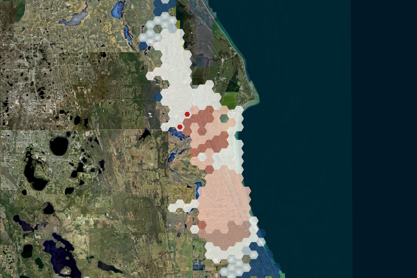
In part three of our webinar series, learn how our spatial statistics tools can help you understand spatial distributions, observe patterns, and make predictions.
Access the resources that were discussed during the webinar

In part one of our webinar series, learn how GeoAI is fusing spatial data science and GIS technology to help agencies automate the extraction, classification, and analysis of all types of spatial or nonspatial data, including imagery, video, point clouds, and text.

In part two of our webinar series, we explore using ArcGIS Knowledge for data discovery, collaboration, link analysis, and information sharing.