From Space to Screen: How to Easily Access and Task Satellite Imagery in ArcGIS
On demand
Access the recording
Webinar overview
Featuring Esri Partner SkyWatch
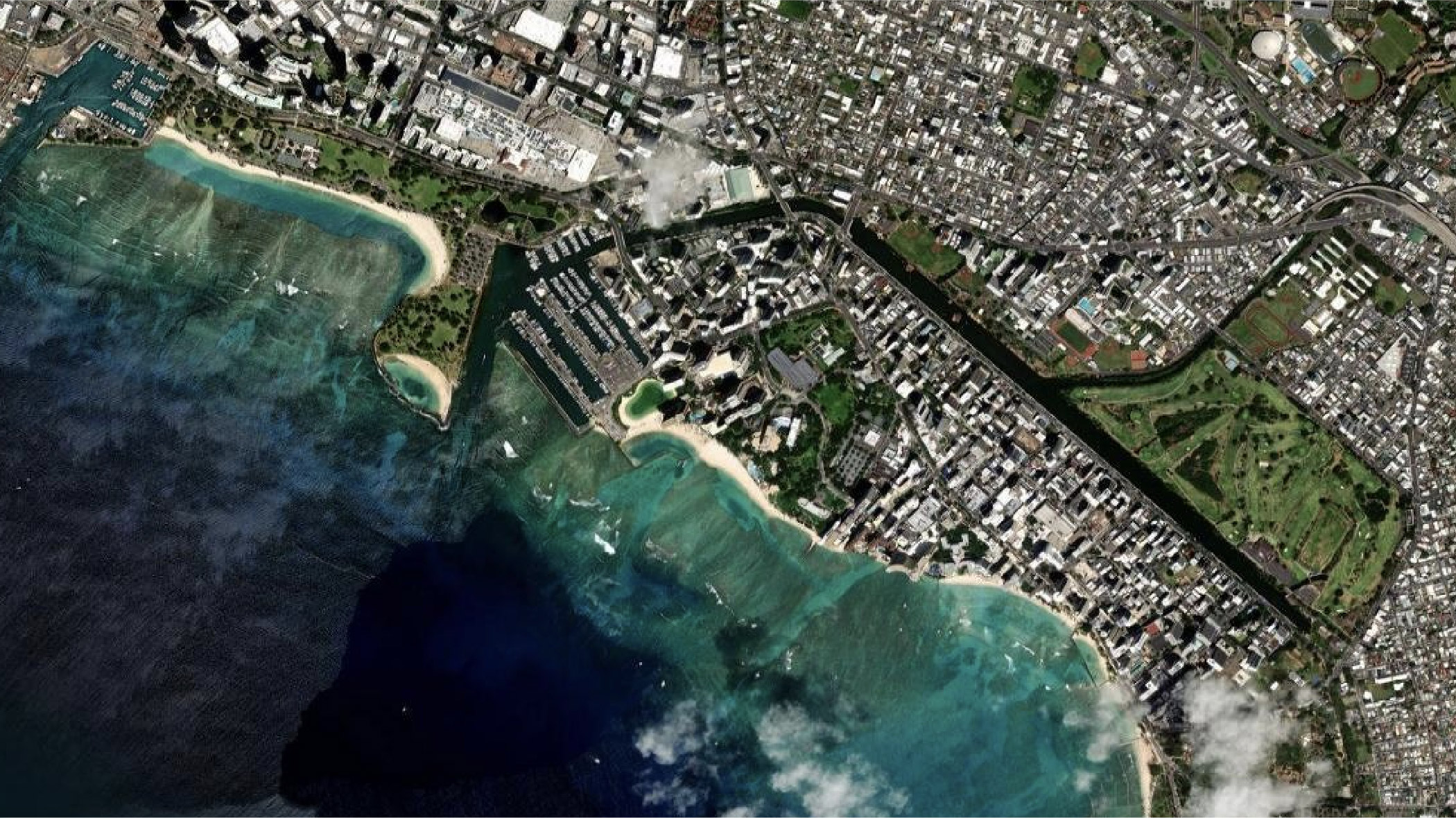
Join Esri and SkyWatch to learn about the latest frontiers of GIS and imagery—user access to current, powerful satellite imagery that can be seamlessly integrated into the ArcGIS environment. Envision custom basemaps, discover analytical insights, and observe Earth from a new perspective.
Access the recording
Resources
Explore the resources below to learn more about integrating imagery and remote sensing in your workflows.