,

Operational Efficiency

Smart communities improve operational efficiency.

Smart communities and smart cities are those that deliver unparalleled service to their constituents. Balancing your resources and applying them to the best locations that benefit the most people help improve citizen satisfaction. Esri's GIS-based smart community information system collects information in real time and feeds it back into performance dashboards for real impact. More efficient workflows come from collecting information at the source, dispatching staff to where they are most needed, and maximizing materials and resources to improve response times while reducing costs. 

Leverage a system for good government services

Smart communities and smart cities can improve operational efficiency when they embrace GIS technology that

  • Streamlines workflows and business processes.
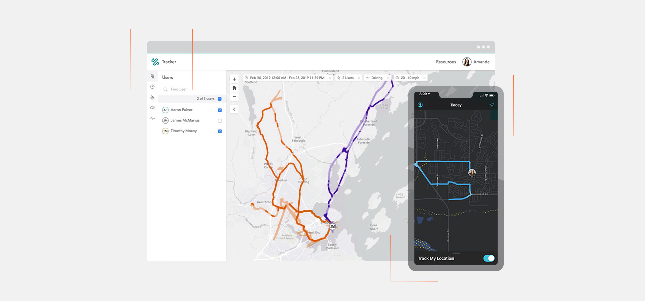
  • Improves field data collection and mobility.
  • Analyzes data quickly to change the pace of government operations.
  • Uses operational dashboards to improve responsiveness.
  • Uses data and analytics to improve decision-making and service delivery.
  • Provides meaningful information products to the public.

Operational efficiency in action

Explore success stories and best practices across the globe

  • Article

    Johns Creek, Georgia

    Chief data officer

    Imagine, rather than typing out questions about the specific zoning on a property or the crime rate around your neighborhood that you were able to ask your virtual assistant. That is exactly what Johns Creek did to connect with citizens—in a way they weren't expecting.

  • Blog

    Pasadena, California

    Fire department

    With 700,000 people in attendance at the Rose Parade, the city needs to ensure public safety. GIS is helping city staff monitor weather conditions, improve mobile workflows, leverage live dashboards, and achieve cross-agency collaboration to keep crowds safe.

Previous
Next
  • Article

    San Bernardino County, California

    Sheriff's department

    With just a few hours to act after a flooding, San Bernardino County's Homeless Outreach and Proactive Enforcement (HOPE) team had to relocate homeless populations that lived in the floodplain. Using mobile tools, the team was able to make faster decisions.

  • Video

    Dublin Airport

    Asset management

    Handling more than 2,300 flights every week, Dublin Airport needs to ensure a safe and positive experience for passengers. Employees need to work together to manage and maintain 35,000 assets, with a replacement value of €4 billion, as well as collect, share, and analyze a vast amount of operational data. The use of ArcGIS on mobile devices, on interactive management dashboards, and for complex an

Previous
Next

ArcGIS advances smart communities

Making data-driven decisions that improve quality of life is the goal of every smart community. ArcGIS capabilities and products make this possible.

Capabilities

Gain greater insights by visualizing and analyzing your community’s data. Collaborate and share via maps, apps, dashboards and reports.

Previous
Next
See all ArcGIS capabilities

Our smart partner network

Our ecosystem includes strategic alliances with companies that offer platforms to extend the power of GIS. This is amplified by data, hardware, and applications partners who offer focused solutions to meet the needs of all your departments and workflows.

Plan your smart strategy with Esri


Smart is a journey—one based on incremental steps that deliver good government, build infrastructure for the future, and enhance the lives of citizens through a digital transformation. We would like to be part of your journey.

Contact us to start an envisioning session