Location Intelligence

Insights that transform decision-making

Explore how organizations are modernizing operations with a geographic approach to problem-solving, planning, and prediction.

Definition

What is location intelligence?

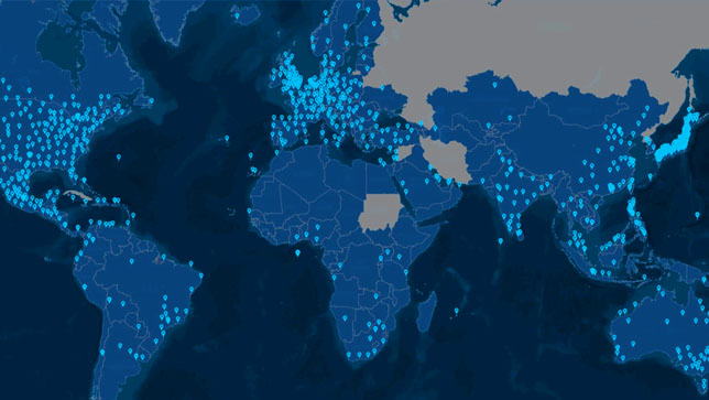
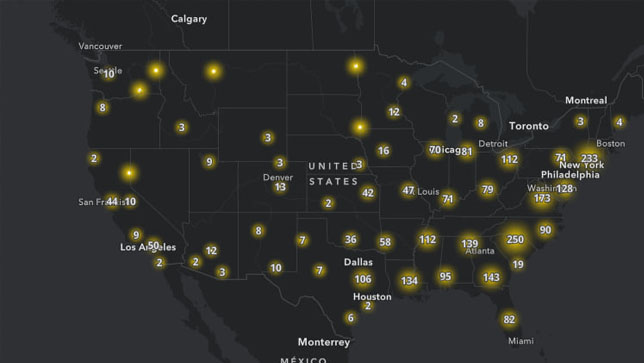
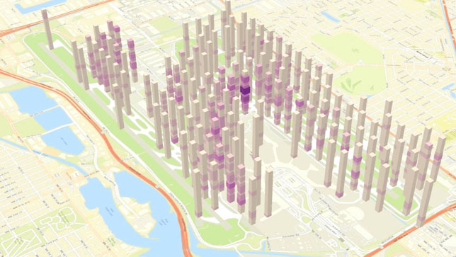
Location intelligence is the insight gained from visualizing and analyzing geospatial data. Layering location-specific data—such as demographics, traffic, environment, economics, and weather—on a smart map or dashboard reveals unique insights. Leaders use location intelligence to better understand where and why things are happening and plan what to do next.

Lightning striking in Miami during a storm

Revealing risks and solutions

In this example near Miami, mapping data reveals where older adults live in buildings (in yellow) susceptible to flooding (in purple).

Who uses location intelligence?

Leaders in business and government apply location technology to meet a wide range of needs. Examples of location intelligence use cases include finding optimal locations in retail site selection, managing assets in real time, supply chain optimization, and building or maintaining vital infrastructure.

DIGITAL TWIN

Vodafone creates country-scale digital twins

The Vodafone digital twin for Britain—representing 245,000 square kilometers—was created using mission-critical geographic information system (GIS) technology. It contains various levels of immersive 3D detail that engineers and planners use to increase operational efficiency and improve the customer experience across their network.

Read the story
Aerial imagery of London's Westminster area provides a key input for the country-scale digital twin using GIS technology

Location intelligence accelerates understanding

Decision-makers have access to unprecedented amounts of business data. Putting that data in the context of location is how we make sense of it and put it to work. Location is the common thread connecting disparate data sources and breaking down silos.

Revealing hidden patterns

Visualizing and analyzing data on a map uncovers relationships and trends for a more accurate understanding of a situation or system.

Providing real-time understanding

Leaders use location analytics to convert raw data into insights that empower in-the-moment decision-making with the best information possible.

Delivering business value

Unifying all relevant information by location enables organizations to approach challenges holistically and find impactful solutions.

Cargo ships pass through the Port of Rotterdam, where operators use location intelligence to operate more efficiently

Creating real-time awareness

Building digital twins of systems or networks, like this example of the Port of Rotterdam, uncovers opportunities to increase operational efficiency.

Location is key to solving today’s challenges

The challenges we face in business and government are tied to location. Geography pulls together all key information about issues such as infrastructure modernization, sustainability, climate change, environmental management, and social equity.

Location data continues to increase

Location information has always been important. Now with billions of sensors and smart devices, we have much more data to visualize and analyze.

There are applications in every industry

From government to real estate and retail, location intelligence powers everything from supply chain optimization to climate resilience.

Location intelligence is an essential tool

Without location-based analysis, we’re missing out on crucial information and insight that enable more effective action.

Three seals resting on the limited sea ice due to rising temperatures, changes that can be measured with location technology

Mapping our changing world

Sea surface temperature is one example of a key indicator that can be mapped to understand climate change impacts and inform severe storm prediction.

Location intelligence is powered by GIS software

Location intelligence is made possible by geographic information system (GIS) technology, which allows users to manage, visualize, and analyze geospatial data. Location intelligence software—such as GIS smart maps, apps, and dashboards—makes it easy to share location-based insights with executives and decision-makers. Analysts and data scientists use sophisticated location technology as an essential business intelligence tool to combine and investigate all kinds of data.

Learn about Esri’s GIS technology
Scientists use location intelligence to identify areas most important to protect for the 30x30 initiative like Yosemite

Visualizing conservation initiatives

GIS integrates complex data. This example maps habitat significance, biodiversity, connectivity, and climate resilience, showing how they are related.

Expand your knowledge

Learn about Esri's innovative solutions and how organizations in various industries apply and benefit from location intelligence.

Discover the value of location intelligence

Access the ebook to learn how leading organizations—such as Apple, Transport for London, and San Francisco International Airport—are transforming operations with location intelligence, enterprise-grade GIS software, advanced analytics, and interactive mapping.