Electric Utilities

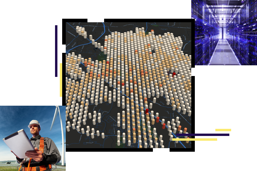
 A vertical concentration map in orange and gray, a server room in vivid blue and white, and a person in safety gear holding a tablet beside a wind turbine

The electric utility industry is in motion. Electric utilities face changes in every area of their business. They work hard to adapt to and leverage digital technology. Yet they often face today's challenges with yesterday's methods. In the struggle to remain relevant and thrive, electric utilities look to advanced technologies; they look to ArcGIS for the latest in utility mapping and spatial analysis.

A comprehensive GIS—more than utility mapping

ArcGIS is a comprehensive geographic information system (GIS). It contains all the elements needed to solve utility challenges and includes tools to help you leverage digital maps. The system maintains key information, analyzing and distributing it to everyone that needs business intelligence through a system of record, a system of engagement, and a system of insights.

Download the ebook

Electric utilities business areas

Previous
Next
See all utilities

Esri User Conference

Learn from Esri president Jack Dangermond, Esri staff experts, and special guests during the Plenary Session. Attend technical sessions to discover the latest tools. Get inspired by user presentations and Map Gallery entries. Explore solutions in the Expo and Esri Showcase and shop at the Esri merch store.

Get event details
Go to all events
A presenter leading a GIS tutorial at a conference

Our community

Find out how your peers are using Esri technology to achieve their goals.

Explore stories and resources
Two people sitting in a coffee shop working with GIS software on a tablet and laptop

Contact sales

Connect with the Esri electric utilities team