Learn how applied GIS is keeping the balance between equity, resiliency, and sustainability.
Geographic information system (GIS) technology provides public works agencies with tools to forecast flood impacts, analyze the distribution of capital investments, and determine infrastructure impacts on the environment. Incorporating spatial insight helps these organizations prepare for tomorrow’s challenges, including planning for autonomous vehicles, adapting indoor mapping, and using drone-based imagery.
This brochure will guide public works agencies on how GIS can support the full breadth of the following focus areas:
- Operations and maintenance
- Streets, roads, and bridges
- Field and fleet management
- Capital project design and engineering
- Public grounds and facilities
- Emergency response
GIS driving equity in public works
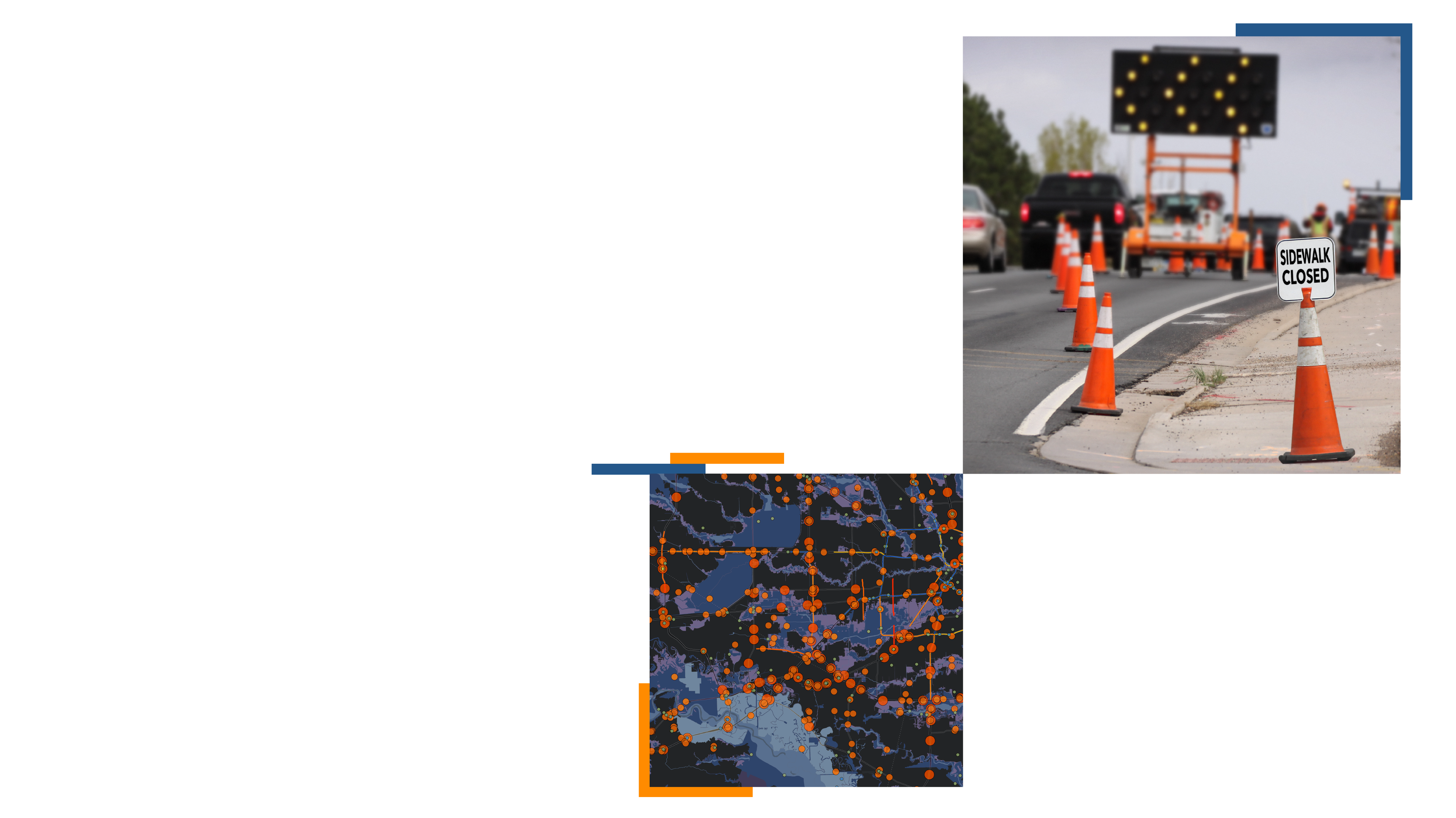
GIS helped Lawrence, Kansas, improve the walkability of the city with smart sidewalk network modeling and repair planning.


