3D Planning Solutions for Analyzing Growth Capacity
Cities around the world are beginning to utilize 3D GIS to visualize and analyze zoning and plausible future conditions. The visual representation of planning scenarios and their impact is an effective way to engage all members of a community, urban planners, and non-experts alike, in the planning process.
June 10th, 2020 @ 9-10AM PDT
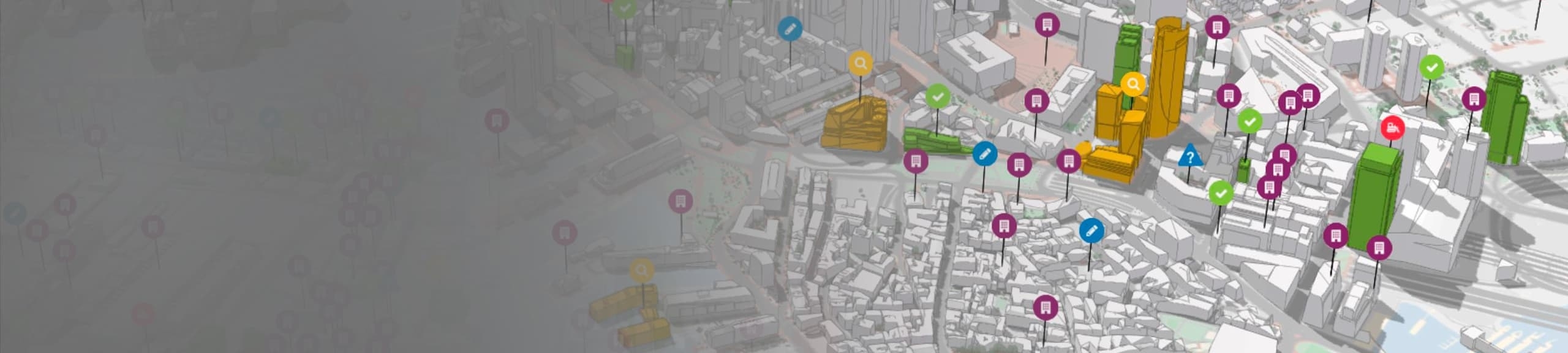
ArcGIS Urban can help cities and counties understand existing development measures and guide future growth policy. ArcGIS Urban is a web-based 3D Smart Planning System designed to support project review, Comprehensive Plans, and Growth Capacity Analysis.
With ArcGIS Urban, planners can:
- Visualize, track, and review building projects throughout their lifecycle
- Create and share 3D zoning scenarios directly in a web browser
- Report on citywide performance indicators and communicate trends to stakeholders
- Drive digital engagement by establishing two-way communication with the public
Join this webinar to learn how cities are using ArcGIS Urban to create, evaluate, and communicate plans within their communities. We'll explore ArcGIS Urban’s plan authoring tools to create and evaluate multiple scenarios, using metrics and performance indicators as design feedback. We'll also take a look at how Urban's Growth Capacity Analysis workflow can help guide future growth - a critical component for growth management strategies in communities across the Pacific Northwest.