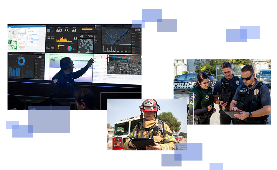
Download the toolkit to enable real-time field mobility:
Enable Law Enforcement:
Get started with solutions that allow commanders and first-responders in the field to understand and share actionable intelligence in planned and unplanned events/incidents.
- View and Analyze Incident Information
- Display real-time location of resources
- Real-time field intelligence for effective decision-making
- Monitor field operations with up to the minute updates
Empower Fire/Rescue:
Begin your agency’s response strategy with solutions to dynamically communicate information and established workflows, ultimately providing decision-makers with real-time information.
- Understand Incident Impact on critical infrastructure and human populations
- Display real-time updates of field personnel and event status
- Conduct fire safety surveys for community risk reduction
Transform Emergency Management:
Esri's solution for emergency management operations works over the FirstNet network and can be used by emergency management personnel to immediately understand the impact of an incident on public infrastructure and human populations.
- Gain situational awareness to stay ahead of changing conditions
- Assess damage to gain actional intelligence
- Share critical, up-to-date public information


