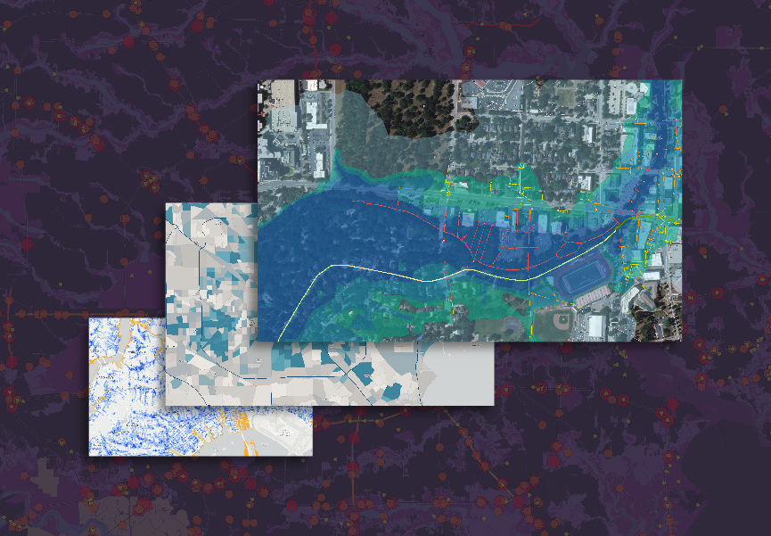
Solve complex challenges with real-time GIS technology
Esri’s geographic information system (GIS) is the leading geospatial data and analysis technology used by emergency management organizations across the globe. Esri’s solutions offer a fully integrated system that promotes shared situational awareness.
This ebook outlines:
- How a modern emergency operations center (EOC) can facilitate quicker, smarter decisions with geospatial data
- How you can gain operational efficiencies and reduce your response time with live connections to your field resources
- How leading emergency management agencies are saving time and modernizing their operations and programs

Download the ebook
Complete the form below to access the ebook.
