National government industries
Select your discipline to see how Esri technology can help you.
Previous
Next
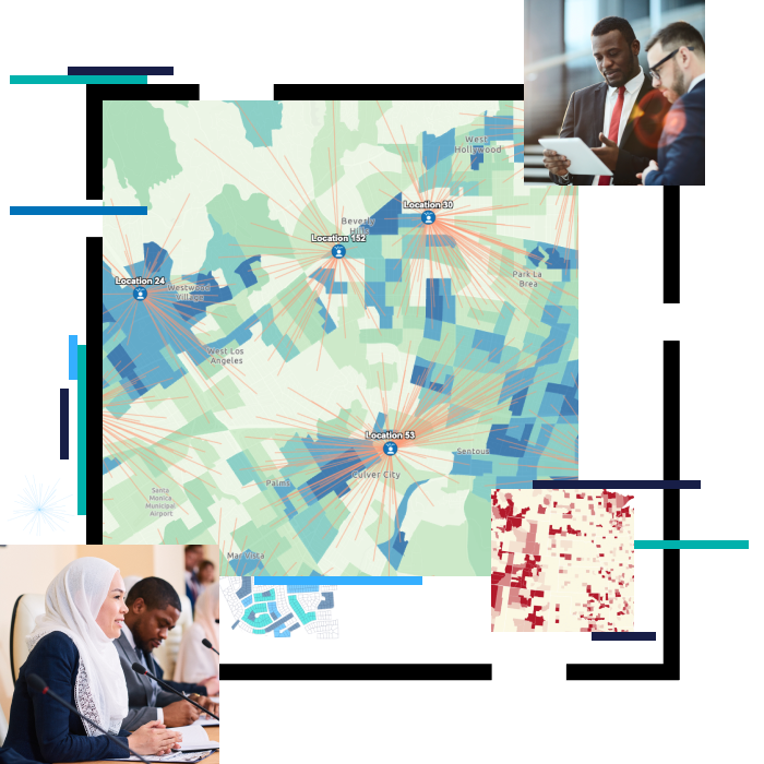
Equity and Social Justice
Advance equity and social justice in your community.
Learn how to map equity
Smart Communities
Esri's smart community information system establishes four technology tenets governments need to support smart communities.
Read more
Esri Disaster Response Program
This Esri program provides GIS software, technical support, services, and data during your community's time of need.
Read more
Procurement & Purchasing
Customized purchase options for members of the federal government.
Explore purchase options

