Specialized, preconfigured apps
Digitize more essential tasks with minimal setup—no technical expertise required. Included solutions apply to a broad range of common local government workflows, from tracking road closures to managing elections.

Power efficient, transparent services for your community with a priced-for-growth technology subscription

Time-tested results. Personalized support. Market-leading technology.
Simplify asset management, incident reporting, public engagement, and more with a library of ready-to-use maps and apps. Unify your data and create a central operating picture that boosts efficiency. Plus, with a 98 percent customer retention rate, you can use Esri solutions with confidence—you'll have everything you need to get started quickly and capabilities to support your community as you grow.
Digitize more essential tasks with minimal setup—no technical expertise required. Included solutions apply to a broad range of common local government workflows, from tracking road closures to managing elections.
With a subscription-based model, you access and pay for exactly what you need, when you need it. Customize the number of users, select the capabilities your work requires, and change your configuration at any time.
Esri’s department-specific tools connect in a single centralized system. With all your data collected in one place, you can better coordinate and monitor operations across the entire organization.
Shift your mindset from reactive problem-solving to forward-thinking decision-making. Find trends in constituent needs and service performance, and know where to best apply your resources.
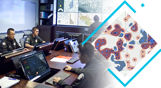
So much of local government deals with location—land use, zoning, districting, transit, crime, and safety. Maps and spatial data show you exactly where your services and your residents' needs intersect.
Esri brings 50 years of market leadership to the table. All our solutions, no matter what size investment, include robust support like free training, professional tech support, and concierge customer service.
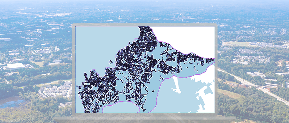
Johns Creek, GA saw how big cities were using location tech and implemented the same smart mapping software for a safer, more efficient community.

Learn how communities of all sizes use Esri local government solutions to connect with residents, improve efficiency and transparency across departments, and thrive through change.


Earning your community’s trust starts with transparency. Esri local government solutions connect your departments, organize your data, and deliver information intuitively. Included applications help you create and share comprehensive reports, dashboards, and service maps: prove your wins, boost public confidence, and get faster buy-in from residents.

Your community's future depends on the policies you uphold and the services you provide. With Esri local government solutions, you gain powerful analytic tools that collect and connect data from every department. See new patterns in how different parts of your community rely on different services, and gain the understanding you need to confidently chart a course toward a brighter tomorrow.

Your paper-based records could be costing you valuable resources as your teams track down assets and get information current. Digital apps take your records out of the file cabinet and into the cloud, ensuring your efforts will have long-term value. Your data will be easier to track, update, and access, contributing to big-picture operational visibility for more efficient use of resources.

For more information about local government solutions, please complete the form and a representative will be in touch.