
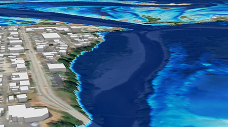
Advanced WIM Workflows
Webinar
Learn how to use the Wetland Identification Model (WIM) in ArcGIS Pro, which includes deep learning and mosaic datasets to boost accuracy.

Discover new insights, innovative best practices, and the latest advancements in GIS technology.

| Date | Event | Location |
|---|---|---|
| March 9–10, 2025 | Esri Partner Conference | Palm Springs, CA |
| April 9–11, 2025 | Esri International Infrastructure Management & GIS Conference | Frankfurt, Germany |
| July 14–18, 2025 | Esri User Conference | San Diego, CA |
| October 28–30, 2025 | Esri Infrastructure Management & GIS Conference | Palm Springs, CA |
| Date | Event | Location |
|---|---|---|
| May 18–22, 2025 | Association of State Floodplain Managers Conference | New Orleans, LA |
| June 24–27, 2025 | Florida Floodplain Managers Association Conference | Cape Coral, FL |
| August 19–21, 2025 | Texas Alliance of Groundwater Districts (TAGD) Texas Groundwater Summit | San Antonio, TX |
| November 10–12, 2025 | American Water Resources Association (AWRA) Annual Conference | Westminster, CO |
Advanced WIM Workflows
Webinar
Flood Simulation Capabilities in ArcGIS Pro
Webinar

Elevation-Driven Hydro Feature Extraction
Webinar

Arc Hydro: Analytics for Water Resources
Webinar series

Arc Hydro in Action
Webinar series

Getting Started with Arc Hydro
Webinar series