Transit

Smart mobility for public transportation

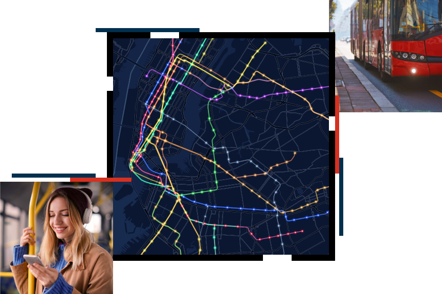
A city map with colorfully marked routes, a red bus idling beside a cobblestone sidewalk, a smiling person wearing headphones looking at a mobile phone

Align your community’s initiatives with federal funding objectives using GIS. Visit Esri’s federal funding resource site.

Explore the resource page

Be a leader on urban mobility with GIS for transit

As congestion increases in our urban centers, the need for effective public transportation has significantly increased. At the same time, urban mobility patterns are changing rapidly, with a more diverse public bringing changing expectations of public transport services. Meeting these challenges and transforming operations require location data and powerful analysis from GIS.

Envisioning a new age of transit

Discover how implementing geographic information systems (GIS) can help you leverage data to perform analysis and solve your most pressing challenges in operations, safety, planning, equity, asset management, and performance monitoring. Download our ebook, Your Ticket to Smarter Service, to see what ArcGIS as a technology can do for your agency.

Download the ebook
A happy young adult taking public transportation, standing on a bus

Upcoming event

Esri User Conference | July 15–19, 2024 | San Diego Convention Center | San Diego, California

Explore the event page

Our community

Find out how your peers are using Esri technology to achieve their goals.

Explore stories and resources
Two people sitting in a coffee shop working with GIS software on a tablet and laptop

Contact sales