Transit
Smart mobility for public transportation
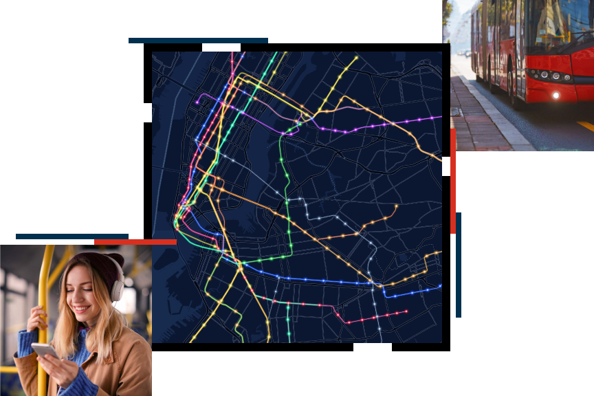
Envisioning a new age of transit
Discover how implementing geographic information systems (GIS) can help you leverage data to perform analysis and solve your most pressing challenges in operations, safety, planning, equity, asset management, and performance monitoring. Download our ebook, Your Ticket to Smarter Service, to see what ArcGIS as a technology can do for your agency.

Public transit business areas
Previous
Next
Upcoming event
Esri User Conference | July 14–18, 2025 | San Diego Convention Center | San Diego, California

Our community
Find out how your peers are using Esri technology to achieve their goals.