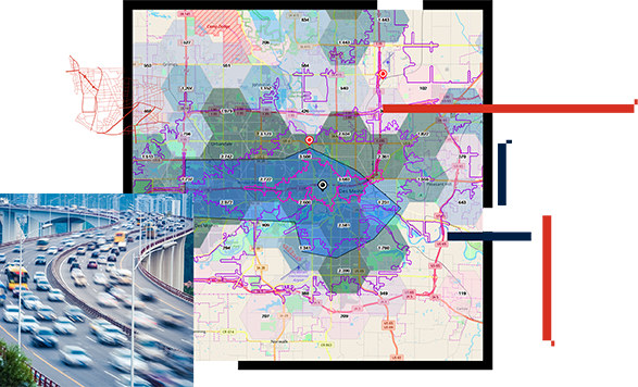
ArcGIS Network Analyst
Use this network-based spatial analysis tool for solving complex routing problems. Accurately represent unique network requirements.
Use GIS to collect information from across your organization and put it in the hands of planners so they can make the best decisions. Use location to organize data on the current condition of assets and transportation system performance and deficiencies. Then you can make strategic decisions about where to invest. GIS in the transportation planning process helps you effectively communicate your road and highway plan, which helps citizens understand why and where you are investing public transportation dollars.
GIS in road and highway planning helps you visualize and understand the condition of your existing assets and the performance of your transportation network. It also helps you analyze needed safety improvements to determine the best mix of new projects and required maintenance activities. With location intelligence, you can strategically prioritize your investments.
To effectively plan investments, planners must collect, analyze, and evaluate candidate projects for inclusion in agency plans. GIS provides a single process for collecting, organizing, and evaluating potential projects from multiple organizations to streamline the planning process. Bundle projects to create scenarios and optimize the mix and timing of projects to deliver the greatest value to constituents.
Effective collaboration is a hallmark of a successful transportation planning process. The ArcGIS platform enables you to build consensus across organizations. At the same time, you want to build public confidence that you have made the most strategic and cost-effective decisions regarding the public's tax dollars. GIS can help communicate the effectiveness of your road and highway plan to build confidence and greater public support–because a map can be worth a thousand words.
Esri Blog
A geographic approach to infrastructure prioritization has enabled Virginia to embark on one of the largest transportation projects in the country.
User story
The Massachusetts Department of Transportation (MassDOT) uses its award-winning GIS app to make more strategic budgeting decisions.
User story
The San Diego Association of Governments (SANDAG) uses a data-driven approach to understand community travel patterns and improve transportation.
CASE STUDY
MDOT moves forward with design-driven maps.
ARTICLE
An interactive map includes data on the unified transportation plan, pavement management, safety and crash analysis, bridge locations, and bike lanes.
ArcGIS StoryMaps
Transportation is about making connections. With that in mind, the Regional Transportation Alliance (RTA) works to enable better mobility for all.
Explore ArcGIS Solutions and product offerings that enhance roads and highways planning.
Use this network-based spatial analysis tool for solving complex routing problems. Accurately represent unique network requirements.
Index the geographic extent of record plans and drawings and provide access to a catalog of source documents in the office or the field.
Manage permit applications required to construct, operate, use, or maintain a facility within the public right-of-way (ROW).
Define a project portfolio, organize it into an official capital improvement plan, and share the plan with internal and external stakeholders.