
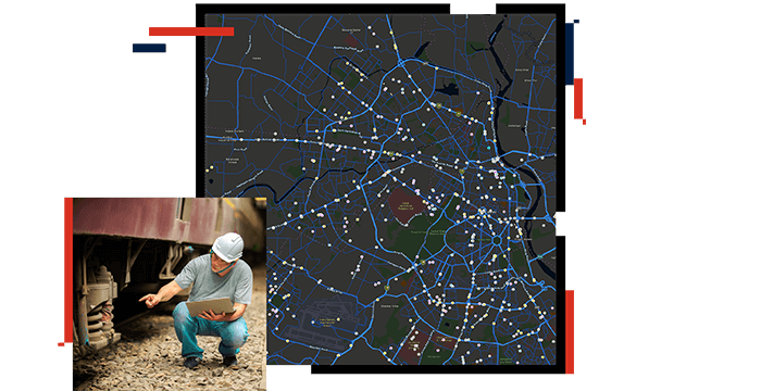
Expand data accuracy
By using GIS technology as the system of record for the location of all physical assets, railroads can minimize uncertainty in asset counts and their spatial attribution. This includes attributes like city, state, and subdivision.
Due to accuracy requirements, these spatial attributes can be maintained in a single source of record. Any updates made to the system of record automatically update all connected databases, eliminating the need for duplicate editing.

