Employee and Public Safety

Leverage GIS software for proactive risk mitigation and real-time spatial awareness

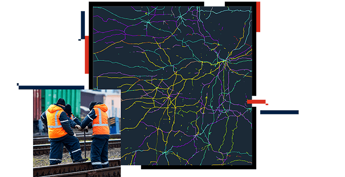
Montage of a dark map with a yellow lines and a train approaching a signal at a crossing

Safeguard railway employees and the community

Railroads demand the utmost safety. Geographic information system (GIS) technology plays a crucial role in rail safety. By leveraging historical data, GIS helps identify patterns and proactively mitigate harmful situations. Real-time GPS tracking of equipment and approaching trains improves spatial awareness for the safety of both railroad employees and the public.

Discover how GIS can support rail safety and security

Awareness of public crossings

Railroads often intersect with public road crossings, and there is a growing demand for comprehensive information about these crossings. By having rail data in a GIS format, key municipalities can easily access and understand the location of crossings. This allows seamless and efficient sharing of information.

Freight cars crossing a road at a rail crossing with the bars down and the red signal lit

Products and resources for employee and public safety

Create a safer railroad environment with these leading Esri products.

Previous
Next

뉴스레터 가입