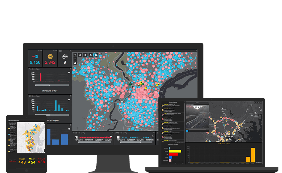
Monitor operations and resources in real-time
Getting the location of a moving object is one thing but tracking entire fleets of vehicles, vessels, or aircraft in real time allows moment-by-moment decision-making for improved operational awareness. Ports, airports, transportation companies, and government agencies all use Esri's real-time GIS technology and optimize resources.

