Real-Time Asset and Fleet Tracking

Optimizing network performance

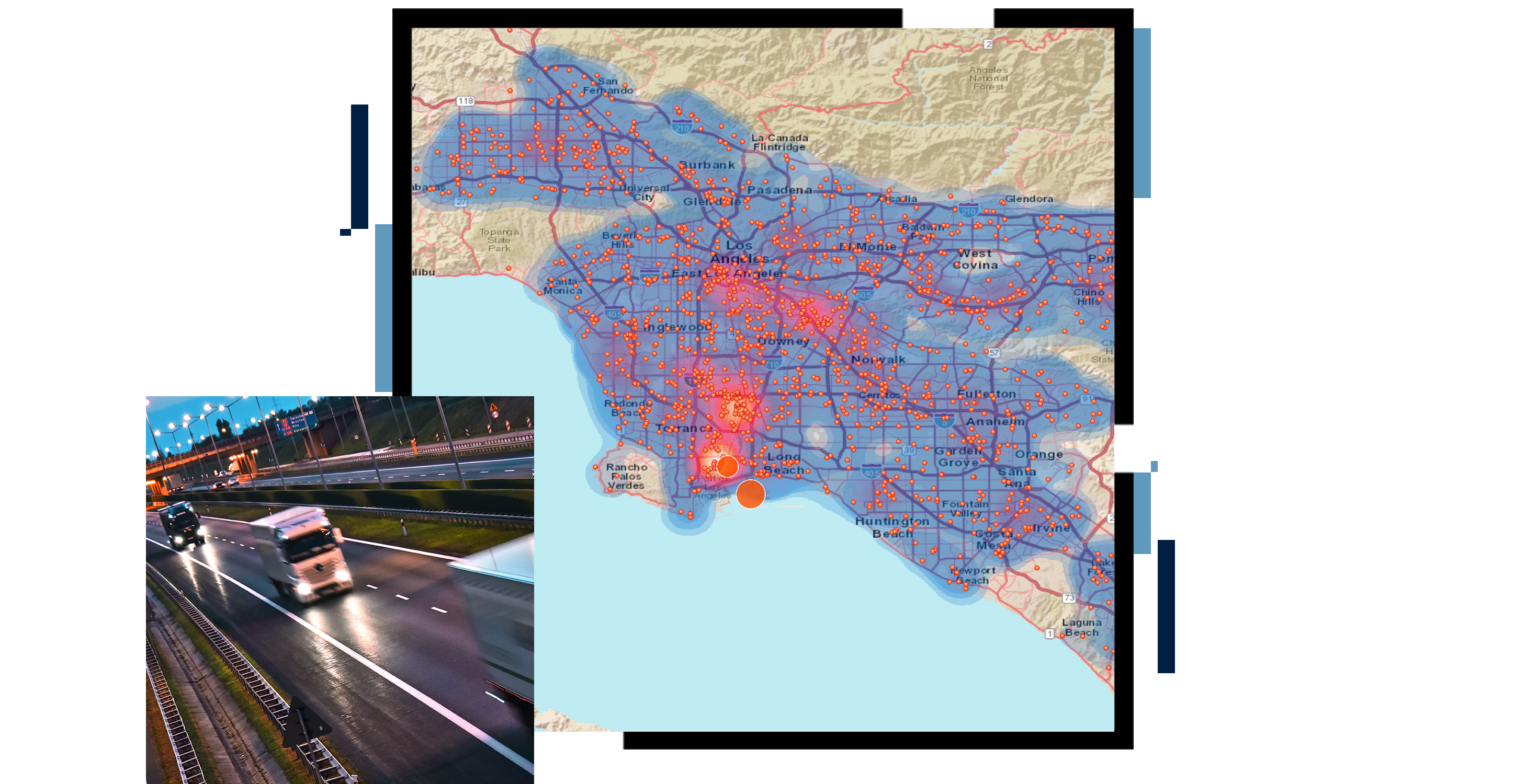
An area concentration map in blue and red, overlaid with a photo of cargo trucks on a rainswept highway

Optimize performance with real-time asset tracking

In today's hyperconnected world, it's essential that fleet and asset managers use real-time data from sensors, active devices, and other live feeds to get a holistic view of a network's moving and stationary assets. With geospatial intelligence from Esri's asset and fleet tracking technology, operations managers can monitor, analyze, and revise real-time asset operations to expand fleet throughput, reduce costs, and improve safety. Advanced location analytics software and GeoAI help analysts automate analyses to detect fleet, network, and asset risks before incurring significant costs or disruptions. 

End-to-end asset and fleet tracking software

Real-time asset tracking and dashboards

Geospatially visualize and analyze valuable fleet and network assets, moving or stationary, by natively ingesting asset telemetry data to gain precise information about your assets' locations at any given time. Configure easy-to-deploy dashboards for asset managers and field operations crews so they can interact with live asset status on demand.

Real-Time Tracking & Analytics
Graphic of a computer monitor displaying a contour map of North America in blue and green on a black background

Advanced geofencing and automated alerting

Geofencing allows asset managers to create virtual geographic boundaries around sites, vehicles, or other locations to monitor the movement of assets within specific areas. This automated awareness provides instant insight when assets are operating outside of determined thresholds and can trigger alerts for operations managers to take action.

Real-time geofencing with GIS
A graphic of a computer monitor displaying route points on a street map in yellow and blue on a beige background

Situational awareness and threat assessment

Simultaneously aggregate, analyze, and display live data feeds from sensors, devices, and social media to view live traffic, global weather, and disruptions. Activate live operations centers across the network to detect potential incidents and assess threats before operations are impacted and costly disruptions occur.

Monitor impacts in real time
A graphic of a computer monitor displaying the progress of a tornado along a coastline in blue on a gray background

Yard, route, and field operations insights

Monitor vehicles, personnel, and equipment assigned to tasks such as delivery, maintenance, inspections, installations, and services. Get live details on distances and travel time, service or dwell time on-site, and exact location of assets. Generate route breadcrumbs to re-create paths traveled, exact points of pickup/delivery, and unspecified roads.

Optimize field activities
A graphic of a computer monitor displaying an indoor site map showing office locations in many colors on a beige background

Advanced IoT and big data analytics

Tap into stores of real-time asset and fleet tracking data with GeoAI. Automate advanced analytics to get insights faster with geospatial analytical models in the cloud. Segment analysis by category such as tonnage and route analysis, fleet and asset utilization, or by geographic trade areas to find workflows that optimize fleet and asset performance.

Insights from real-time data
A graphic of a computer monitor displaying a dashboard with a heat map in red and pink with a list of hot spot data sets

Podcast

Creating a resilient global supply chain

International Monetary Fund senior economist Serkan Arslanalp explains how real-time visibility keeps goods moving in the era of climate change.

Play the podcast episode

BLOG

US Border Patrol finds new ways to rescue migrants

Cataloging asset locations helps US Border Patrol find missing migrants quickly, and an enterprise approach speeds data sharing.

Read the article

Products for real-time asset & fleet tracking

Previous
Next

Contact sales

Connect with the Esri business team