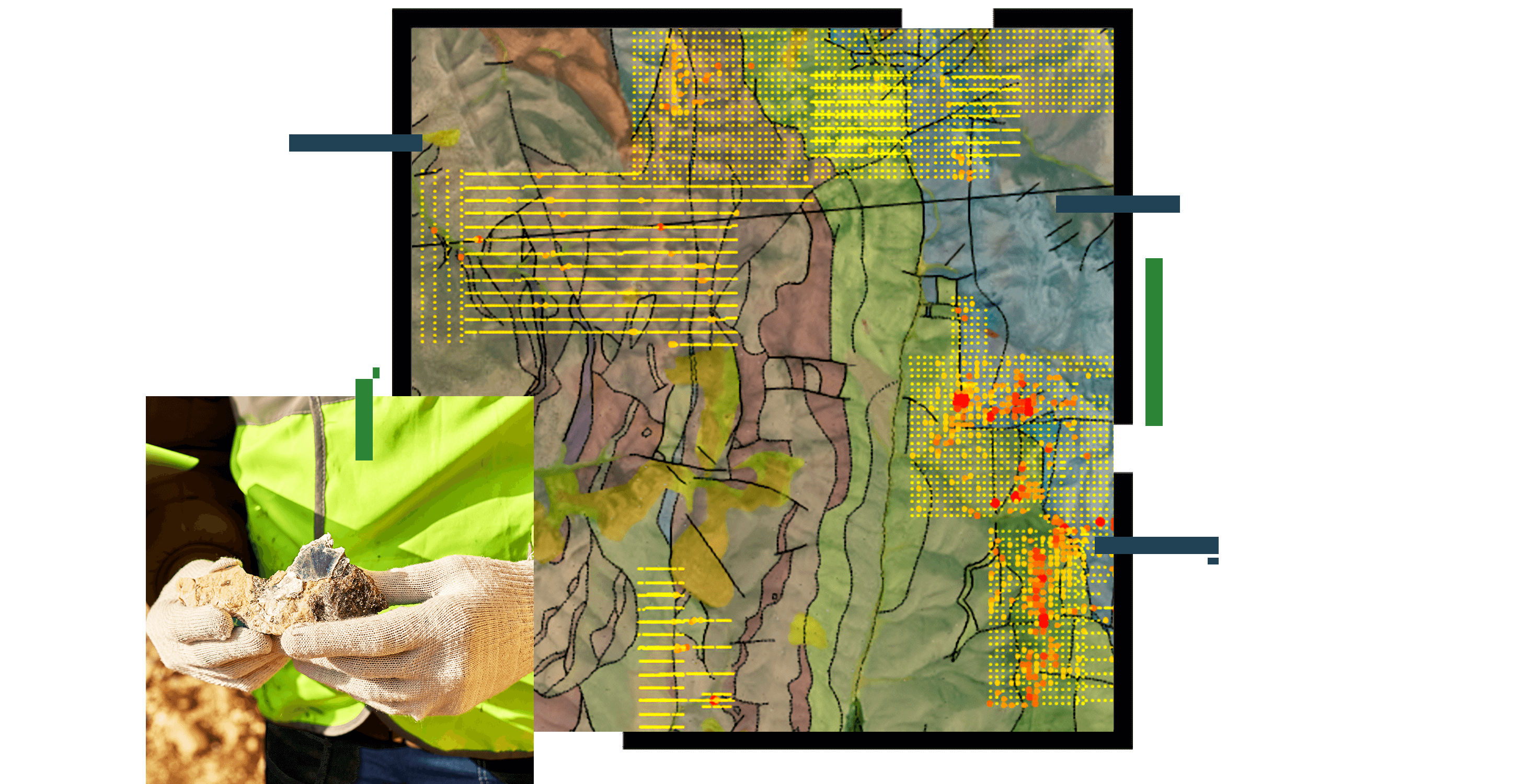
Prospecting and land-use planning
Explore, manage, and aggregate data in a common and integrated platform. Underpin your strategic land-use plan with regional environmental legislation as well as the geologic variables that will guide viability of the project.


