ArcGIS Pro
Support data visualization; advanced analysis; and authoritative data maintenance in 2D, 3D, and 4D.
Driving higher efficiencies
Providing the right goods and services in the right place at the right time has never been so challenging. With increasing buyer expectations for faster, more transparent deliveries, it is critical that providers adopt spatially enabled route optimization software to plan the most efficient routes, identify exact delivery points, and automate the complex daily decisions. Location intelligence improves multistop routes, dynamic travel modes, route reconstruction, and ETA calculations. Using Esri route planning and route analysis software, businesses improve systemwide performance while lowering costs.
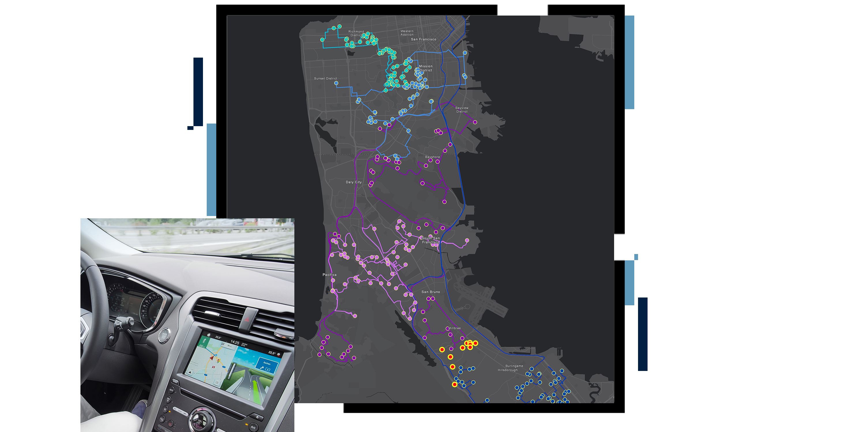
Advanced route solvers are algorithms used to generate routes using network datasets, travel modes, and inputs such as number of stops and time windows. Solvers can address dozens of network restrictions and needs, including service area coverage, closest facilities, origin-destination cost matrix solver, location-allocation, and shortest path for multiple stops.
Travel modes are specific models of how each vehicle class is equipped to traverse roadways and interact with facilities. They help planners rapidly create optimal route plans across the fleet and stay up-to-date as conditions change.
Each mode results in custom-built directions, travel times, and travel paths that are optimized by vehicle. For example, the movement of a sprinter van on a road network may be modeled differently than a straight truck. Travel modes provide real-world routes.
Route layers from route solvers can be shared with other enterprise applications, including mobile navigation apps or back-office optimization software.
Planners can route many vehicles at once, generate turn-by-turn directions, and determine the best order for a fleet of vehicles so it can serve a set of stops in the least amount of time.
Routing optimization requires a geoenriched network dataset providing all pertinent information, such as road limitations, weight restrictions, speeds, and live and historical traffic conditions, allowing you to adapt to real-time travel conditions while visualizing future route planning.
Route planners can monitor and analyze operations, including ETA calculations, breadcrumb route reconstruction, and location management.
Forecast and prepare for business seasonality. Ensure the most efficient resource allocation, optimal use of vehicles and employee time, and a balanced workforce where jobs are equally distributed among staff.
Article
Logistics and transportation companies use GIS software to balance the demands of customers, net-zero goals, and their bottom lines.
ARCNEWS
Built to get fleets where they need to go, ArcGIS Navigator is a voice-guided, turn-by-turn navigation app that works hand in hand with GIS data.
PODCAST
Fortune 500 companies such as UPS use advanced analytics to realize their own digital transformation and improve business and operations.
BLOG
Many organizations are under growing pressure to increase operational efficiency and reduce operating costs in response to these unprecedented times.
Support data visualization; advanced analysis; and authoritative data maintenance in 2D, 3D, and 4D.
Build interactive web maps with ArcGIS Online, Esri's web-based mapping software.
Use this extension for effective movement of goods, efficient organization and coordination of vehicles, and smart transport network analysis.
Define travel modes, route on your own roads, and search your assets. Work online or offline and with other ArcGIS field operations solutions.
Make smarter decisions for market planning, site selection, and customer segmentation by combining data with map-based analytics.