ArcGIS Pro
ArcGIS Pro is a powerful, single desktop GIS software that provides professional 2D and 3D mapping in an intuitive user interface.


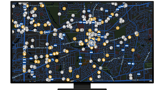
Crime analysts use mapping and analytical methods such as hot spot analysis to identify crime trends and patterns and help police agencies identify problems, allocate resources, and solve crimes. ArcGIS is the industry standard for crime analysis technology and is critical to implementing evidence-based, data-driven crime reduction strategies.
Import data from disparate record systems and prepare it for analysis. Esri provides robust tools to help analysts import and manage data and automate the process. Save time and ensure that your agency always has the most up-to-date crime and incident maps prepped and ready for analysis.
Support data-driven crime reduction with tools for both tactical and strategic analysis. Find short-term crime patterns and support the identification and evaluation of long-term crime problems and trends.

Use data to explore the relationships between people, events, and locations. ArcGIS can help investigators uncover criminal networks and understand suspect activity patterns with a variety of tools to analyze cell phone records, financial transactions, and other investigative data sources.

Share analytical products with command staff, officers in the field, and other stakeholders. ArcGIS supports multiple options for sharing including hard-copy maps, charts, and reports as well as the ability to create interactive maps, bulletins, dashboards, or mobile mapping applications that fit end-user needs.

INDUSTRY BLOG
In part 4 of our Crime Analysis with ArcGIS Pro blog series, we examine how to use the 80-20 Analysis and Summarize Incident Count tools.
INDUSTRY BLOG
In part 3 of our crime analysis series, learn how to map crime data using polygons or lines, then calculate percentage change between time periods.
INDUSTRY BLOG
In part 2 of our Crime Analysis with ArcGIS Pro blog series, we examine the selection toolset.
INDUSTRY BLOG
In part 1 of our Crime Analysis with ArcGIS Pro blog series, we discuss how to automate records management system (RMS) /CAD data import to ArcGIS.
LEARNING PATH
Learn how government agencies can use the Crime Analysis solution to conduct analysis.
ArcGIS Pro is a powerful, single desktop GIS software that provides professional 2D and 3D mapping in an intuitive user interface.
This set of capabilities can help you manage incident data, conduct tactical and strategic analysis, perform investigative analysis, and more.
The secure, cloud-based ArcGIS Online allows you and your team to share maps and apps, collaborate, and analyze data anytime, anywhere.
ArcGIS Enterprise is the complete software system—make maps, analyze geospatial data, and share results to solve problems.