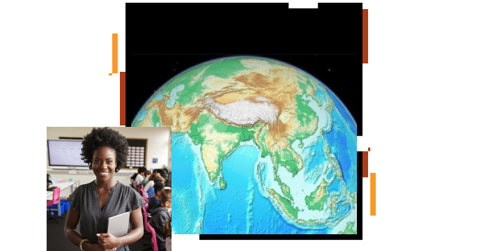
Explore your world
Investigate the world using 2D and 3D maps. Use curated and standards-based map content that supports your existing curriculum. Use National Geographic MapMaker to create your own maps and share them with your students.


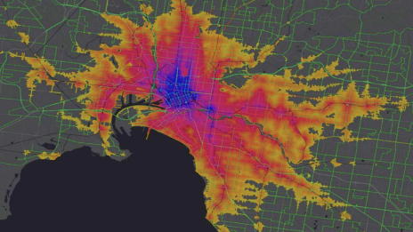
Teach with GIS and bring interactive maps to your classroom
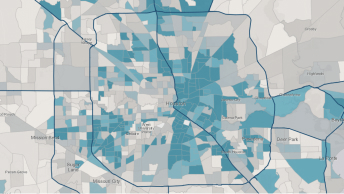
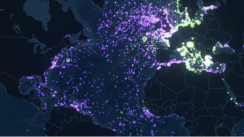
Maps are powerful tools that expand students’ understanding of the world, its physical systems, and human populations. Interactive, digital maps increase engagement and support deep exploration of material. With maps, students can gain greater understanding and build critical thinking skills.
Investigate the world using 2D and 3D maps. Use curated and standards-based map content that supports your existing curriculum. Use National Geographic MapMaker to create your own maps and share them with your students.
Enhance student learning with easy-to-use activities that cover a wide range of subjects. With these activities, you can use maps to teach content standards in an engaging way.

Set your students on meaningful and rewarding career paths. GIS technology opens up a world of opportunity for your students.

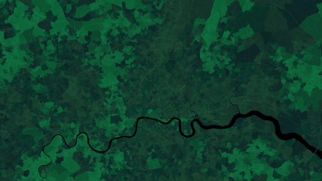
Let your students dive into topics with solo and collaborative projects. Use GIS to explore questions, generate data, and build maps to solve problems.

What is the right teaching strategy for tech-savvy teens concerned about their community?
High school teacher Nick Pant uses maps and data to bring history—and sometimes zombies—to life in his classroom.
At the West Virginia Department of Education, Dr. Erika Klose helps teachers and students access ArcGIS software across the district.
I still approach problems using the geospatial critical-thinking techniques I learned in high school.
Roxana Ayala
Math, Science, and Technology Magnet Academy at Roosevelt High School
Teacher engagement, professional involvement, and state support made GIS a success in Minnesota schools.
Learn teachers' strategies for successfully engaging students through GIS in many different classrooms.
Get started with ArcGIS Online

Explore spatial analysis
ArcGIS StoryMaps tutorials

ArcGIS for schools
GeoProjects
Essential ArcGIS Online skills

ArcGIS Survey123 tutorial