
Esri Academy
Esri Academy's learning resources come in a variety of formats to support different learning styles. Resources cover both concepts and software skills for complete understanding.

Resources and best practices for learning
ArcGIS provides modern, industry-standard GIS tools and methods for your classroom exercises and projects. Students use the same industrial-strength GIS software used by the institutions looking to hire them after graduation. Whether you're teaching GIS fundamentals or advanced concepts, from map design and spatial analysis to machine learning and data collection using unmanned aerial vehicles (UAVs), Esri has you covered. Esri provides a wide array of resources and GIS tutorials to help you succeed as an educator.
Maps and location analytics enhance scholarship in dozens of fields by revealing patterns and relationships. These insights improve understanding and decision-making in both natural and human systems. ArcGIS provides an integrated system for data collection, analysis, and publication that's also open and extensible. Enable access throughout your institution with enterprise licensing backed up by support and training from Esri and best practices your peers have shared.

Whether you need a quick video tutorial or activities for a semester-long course, Esri has GIS resources to suit a variety of learning styles and needs. Materials cover a range of topics and capabilities and are updated frequently to align with software releases.
Esri Academy's learning resources come in a variety of formats to support different learning styles. Resources cover both concepts and software skills for complete understanding.
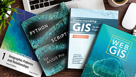
Esri Press publishes books about the science, application, and technology of geographic information systems. Instructor resources are available for many titles, and evaluation copies are available.

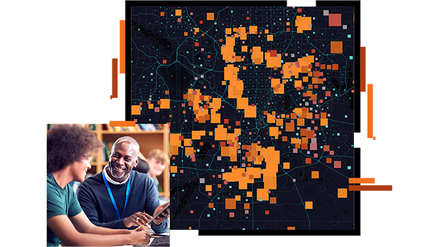
Use real world scenarios to teach problem-solving in many industries. Putting the problem first presents a new way to understand concepts and technology.
Ebook
Including GIS and spatial thinking in your courses equips your students with data visualization, analysis, and problem-solving skills that are in demand across a range of careers. With this ebook, 15 Reasons to Embrace GIS as a Teaching Tool, explore how a geographic approach can provide practical tools to enhance your curriculum.

If you need help determining which option is right for you, schedule a conversation with a member of the Esri team.