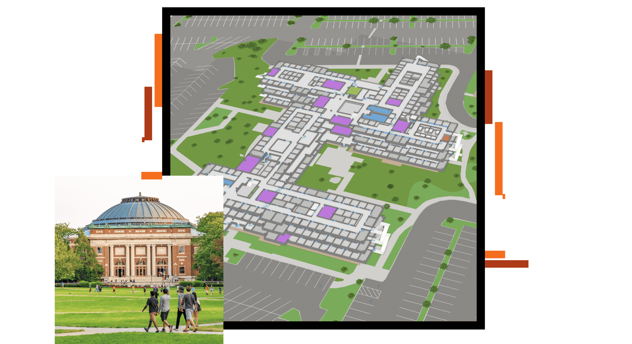
Comprehensive campus and space mapping
Understand and map exterior and interior environments across multiple sites with dynamic and intelligent maps. Make informed investments with location-specific tools and analytics.


Digitally transform campus operations with ArcGIS
Understand and map exterior and interior environments across multiple sites with dynamic and intelligent maps. Make informed investments with location-specific tools and analytics.
Explore product offerings that meet your campus needs.

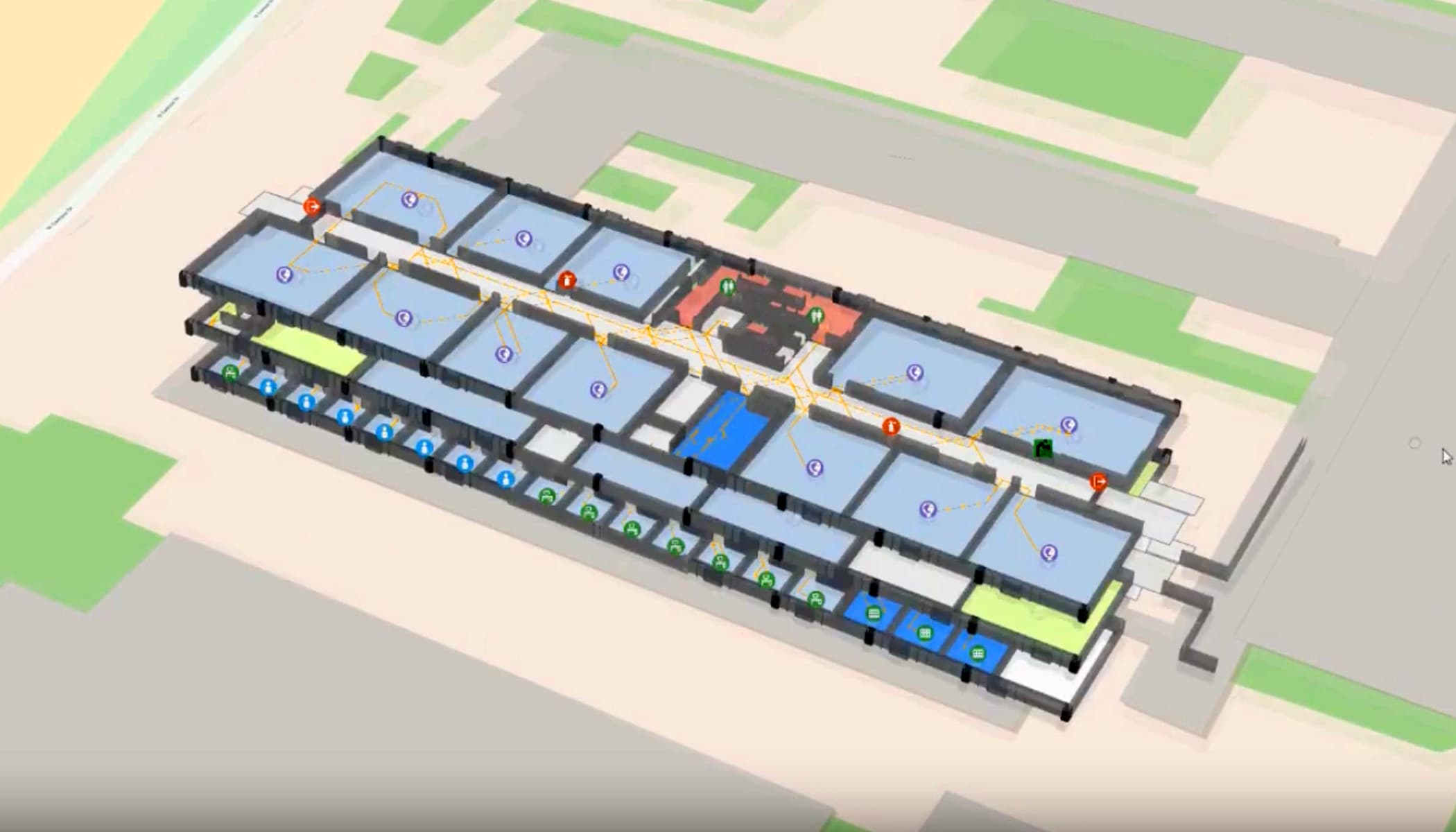
ArcGIS Indoors

Indoor GIS

ArcGIS Field Map

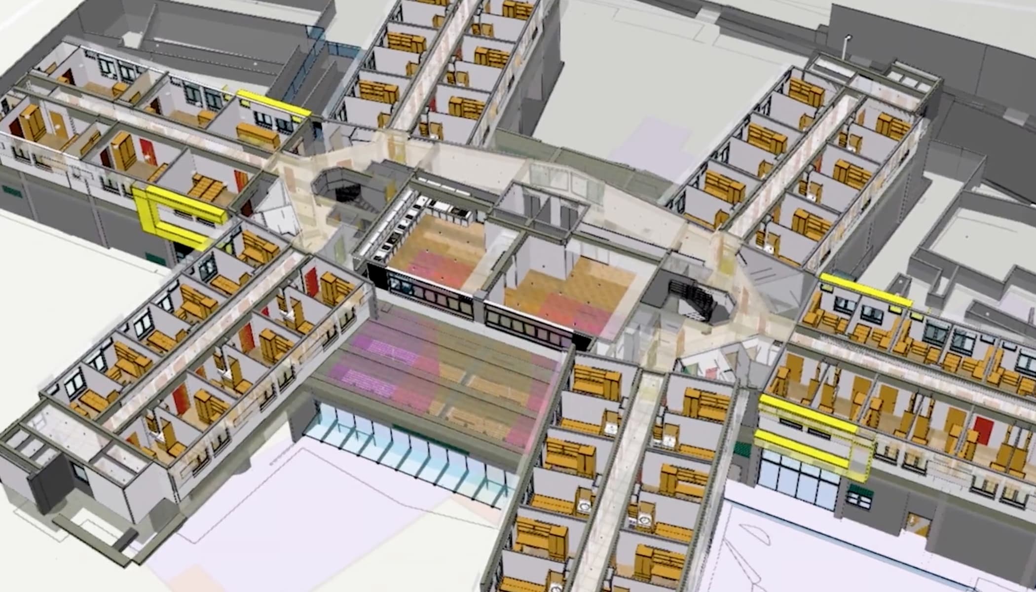
ArcGIS for AutoCAD

The Smart Workplace
Ebook

Spatially Enabling Facilities Management
Webinar series
Proof of Concept: Indoor Mapping for a University
ArcGIS StoryMaps
Transform Facilities Management with Indoor GIS
Video
Join the conversation and engage with others in our LinkedIn group for GIS for education, utilities, and campus safety.
Learn how universities leverage ArcGIS across their campuses to solve real-world challenges and enhance their operations.
Share how your university campus is leveraging ArcGIS.
If you need help determining which option is right for you, schedule a conversation with a member of the Esri team.

