People, property, environment
Collect data to support community and regulatory requirements, catalog hazards and sensitive areas, connect responsibilities to infrastructure and surroundings, and create a safety and compliance knowledge base.


Enhancing safety with GIS
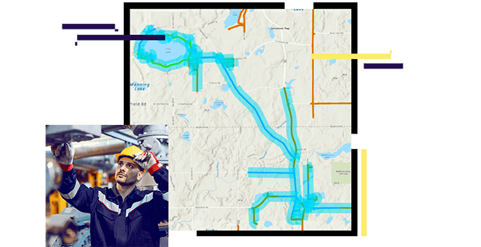
Protecting people, property, and the environment is a top natural gas utility safety and compliance priority. ArcGIS solutions help reveal unsafe conditions that threaten your workforce, your community, and the world in which we work and live. Using location analytics, GIS also helps utilities prepare for natural disasters and unforeseen emergencies. When incidents occur, be prepared with a solution to empower the kind of decision-making and activity management needed for safe and quick gas service restoration.
Collect data to support community and regulatory requirements, catalog hazards and sensitive areas, connect responsibilities to infrastructure and surroundings, and create a safety and compliance knowledge base.
Uncover relationships between hazards and work to craft a complete compliance picture. Analyze historic patterns and present dangers while revealing insights to improve safe and compliant work.

Communicate insights to all stakeholders and convey updates as changes occur in real-time. Enable immediate feedback and transparency while widely sharing current reports and audits.

Case Study
Gibson County Utility streamlined inspections for greater gas utility safety and reduced risk for customers and operators.
Case Study
Southern California Gas Company uses ArcGIS Online to locate incidents and perform impact analysis.
Poster
Visualize Esri's gas utility safety and compliance capabilities.