Support best practices and industry standards
Gas utilities business areas
Previous
Next
Visualize your assets with GIS
Esri ArcGIS enables full life cycle management of natural gas utility assets. Apply geography to the collection, organization, and analysis of asset data to optimize the lifetime value of assets through improved decision-making and activity management. Model your pipe network at the level of detail you desire. Visualize your assets. Access asset data anywhere. Use technology that's based on industry standards and supports all functional areas and roles. Create full operational awareness. Smart gas asset management begins with GIS software.
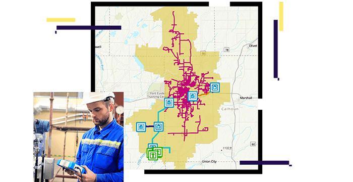
ArcGIS Connects disparate asset systems and unites life cycle around location. It defines network and environmental relationships while embracing real-time inputs.
ArcGIS visualizes vulnerabilities and uncovers financial and operational relationships. It evaluates asset performance and activities while predicting failures with AI/ML.
ArcGIS simplifies data collection while speeding inspection and maintenance tasks. It unifies field and office staff and bridges workflow steps with location.
Case Study
Fort Hill Natural Gas Authority replaces outdated mapping systems with an advanced GIS.
Case Study
ENSTAR reduced redundant data, improved data accuracy, and updated its GIS in near real time.
Poster
Visualize Esri's gas utility asset management capabilities.