Environmental & Natural Resources Agencies

Create maps that help maintain a healthy balance between humans and nature

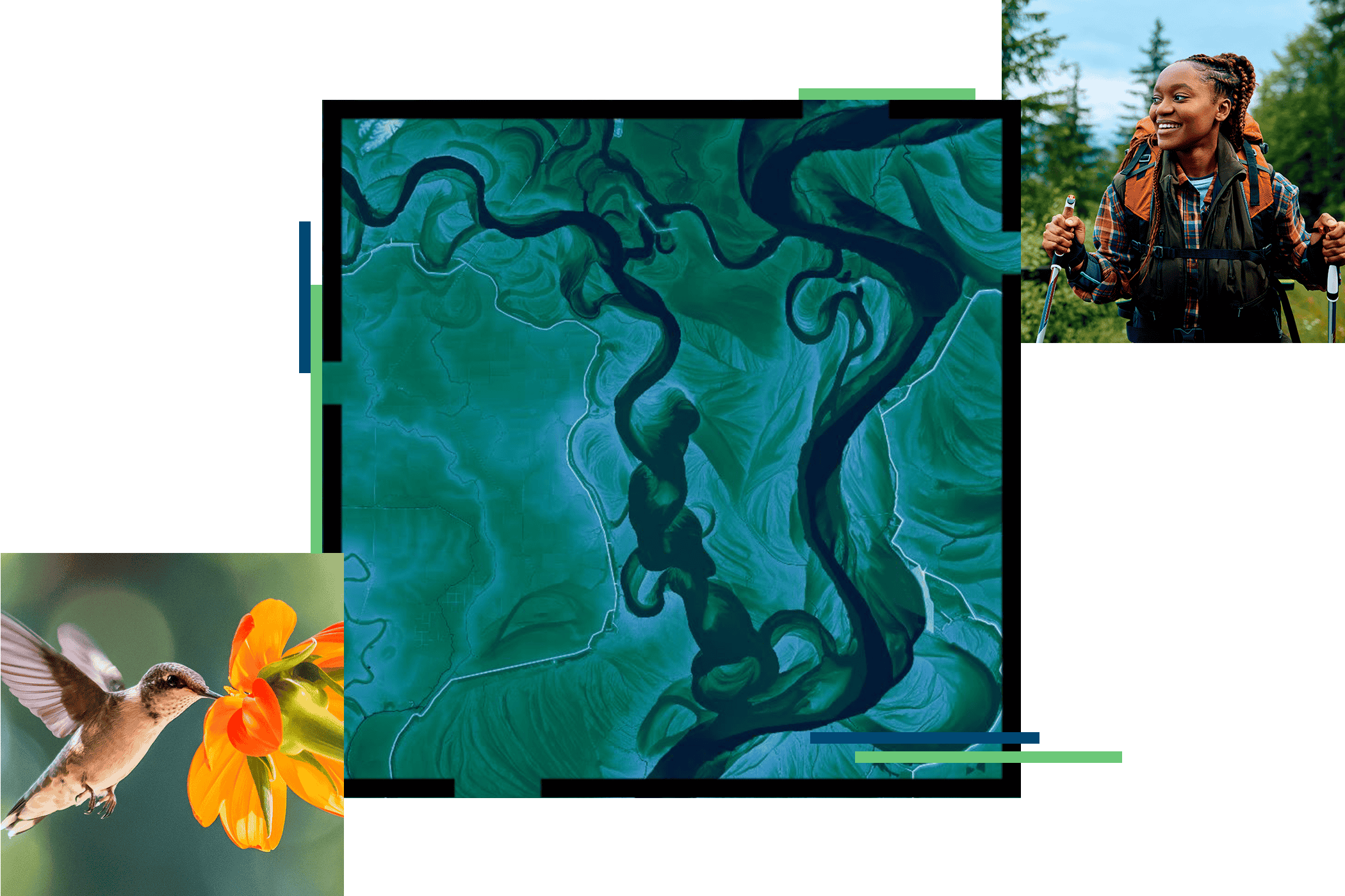
A green, orange, yellow, and red map with water sources in blue, a family hiking on a shaded green trail, and a buck surrounded by tall, golden grass

Align your community’s initiatives with federal funding objectives using GIS. Visit Esri’s federal funding resource site.

Explore the resource page

Restore, preserve, and protect natural resources

As we continue to uncover and learn about ecological challenges facing our planet, the job of environmental and natural resources management agencies is becoming increasingly difficult. Incorporating GIS for natural resources provides a key advantage when working to restore, protect, and preserve natural resources and the environment. While populations and habitats grow and change, environmental agencies turn to GIS technology to help ensure sustainable natural resource and environmental management.

Align federal funding with environmental initiatives

Human activity has an environmental impact. GIS is an essential tool for evaluating, visualizing, and designing solutions that reduce and mitigate negative impacts. Applying new federal funding resources toward GIS analysis provides a powerful way to support environmentally sustainable, equitable, and resilient projects that build community confidence.

Read the ebook
River cutting through a lush, green forest

Upcoming events

Meet with Esri’s environmental team at trade shows across North America in 2024. 

Explore all events
People at an event’s registration area

Our community

Find out how your peers are using Esri technology to achieve their goals.

Explore stories and resources
Two people sitting in a coffee shop working with GIS software on a tablet and laptop

Related industries

Previous
Next

Contact us

Contact us

Outside the United States

Connect with the Esri State and Local Government team