People, property, environment
Collect data to support community and regulatory requirements, catalog hazards and sensitive areas, connect responsibilities to infrastructure and surroundings and create a safety and compliance knowledge base.


Enhancing safety with GIS
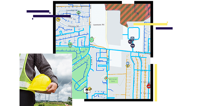
Collect data to support community and regulatory requirements, catalog hazards and sensitive areas, connect responsibilities to infrastructure and surroundings and create a safety and compliance knowledge base.

