Most recent
Aqua Leverages Experience Builder to Keep Users Informed During Service Disruptions
Aqua America uses ArcGIS Experience Builder to manage water service disruptions and inform customers across multiple states.
Most recent
Esri Water | January 09, 2025
Aqua America uses ArcGIS Experience Builder to manage water service disruptions and inform customers across multiple states.
Esri Water | January 6, 2025
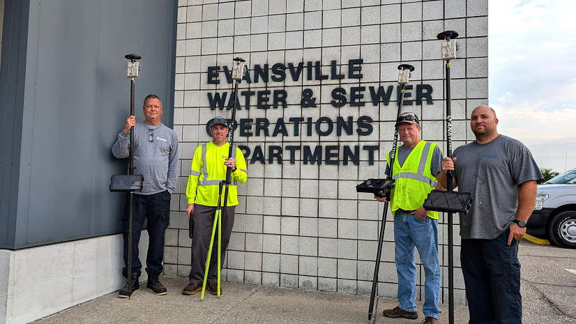
Evansville Water and Sewer Utility improves data quality and workflow efficiency with ArcGIS Utility Network and Arrow Gold receivers.

Esri Water | December 6, 2024
At Mustang Special Utility District, the integration of ArcGIS has fundamentally transformed how infrastructure is managed.

Esri Water | November 6, 2024
GIS based workflows and data analytics for non-revenue water help streamline and solidify decision-making at Hampton Shaler Water Authority.

Esri Water | November 5, 2024
ArcGIS for AutoCAD enables Waternet to significantly improve operational efficiency and data management capabilities.

Esri Water | July 12, 2024
The city of Brandon implemented an innovative GIS based water outage management system to reduce response times and notify residents.

Finn Swann | June 28, 2024
After making the switch from water utility GIS specialist to working at Esri, here are my favorite Esri resources I never knew about.
Esri Water | June 7, 2024
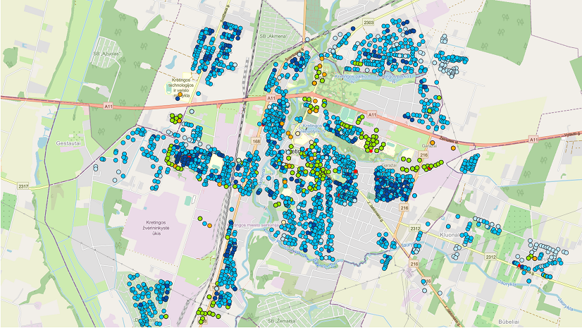
ArcGIS has become an essential tool at Kretinga Waters in optimizing operations and making informed decisions.
Esri Water | April 30, 2024
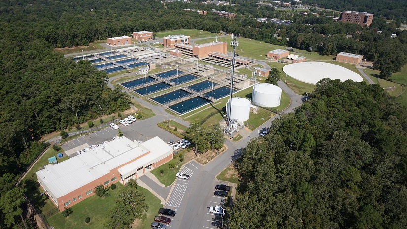
ArcGIS provides a lifeline for Central Arkansas Water staff, making critical information available on a daily basis.
Esri Water | April 22, 2024
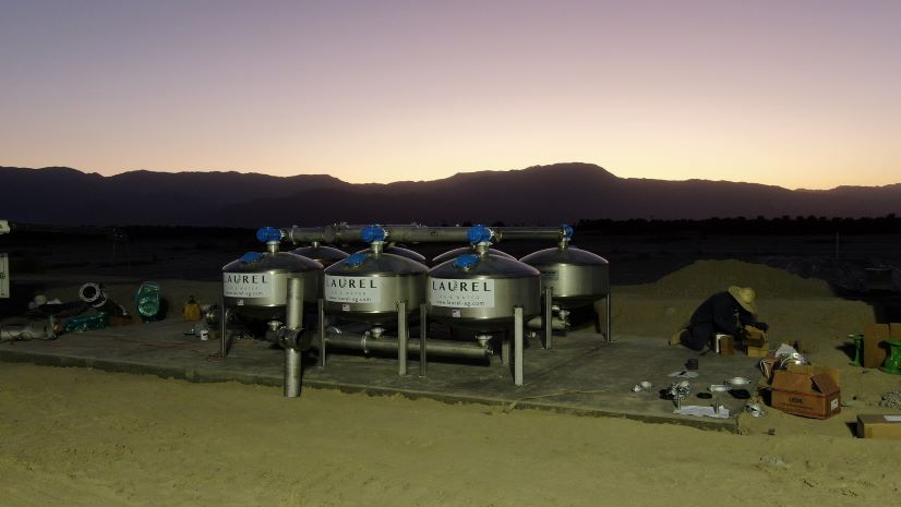
Laurel Ag & Water implements GIS based solutions to meet organizational goals and enable future expansion.
Esri Water | April 1, 2024
Implementing GIS and GPS enabled LCID staff to easily view record drawings, asset information, and collect asset locations.

Esri Water | March 27, 2024
The city of Tuscaloosa used an integration of Esri ArcGIS and ITpipes software to manage it's extensive sewer system.
Esri Water | February 29, 2024
Pidpa is using ArcGIS Field Maps paired with Leica GPS receivers, enabling staff to more accurately record asset information.

Esri Water | February 26, 2024
Implementing Esri's Lead Service Line Inventory solution saved SBWD thousands of dollars.

Esri Water | January 16, 2024
The City of Plano, Texas, paired Esri’s ArcGIS with its asset management software to meet the EPA's Lead and Copper Rule Revisions

Esri Water | January 16, 2024
The City of Henderson utilized a GIS - Asset Management System integration to empower its staff and increase efficiency.
Multiple Authors | December 18, 2023
As water organizations adopt Utility Network, it’s important that they can take advantage of its advanced capabilities in the field.

Esri Water | November 16, 2023
The city of Wentzville, Missouri has implemented ArcGIS Enterprise and Python scripts to manage assets, report and track maintenance, and more.

Multiple Authors | November 15, 2023
Integrating GIS and ERP systems have removed organizational silos and provided information to all stakeholders.

Esri Water | October 2, 2023
Cary Utilities uses Esri and BlueConduit to capture institutional knowledge and track down lead service lines.

Esri Water | September 8, 2023
Charlotte Water's transition to ArcGIS Utility Network has resulted in a more efficient and secure system for network management.
Esri Water | June 28, 2023
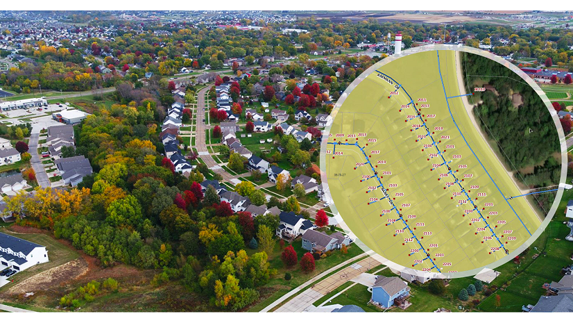
The City of Saline implements GIS to support daily workflows and capital improvement planning.
Esri Water | June 21, 2023
ArcGIS Online has revolutionized existing workflows at Xenia Water and provided solutions for new challenges as well.
Esri Water | June 8, 2023
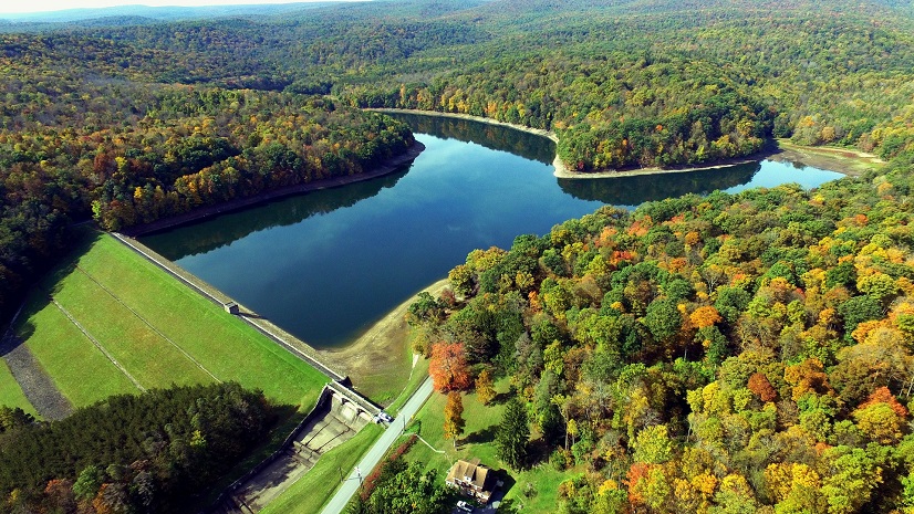
Greater Johnstown Water Authority used the Esri Lead Service Line Inventory Solution to track and replace lead in their water distribution system

Esri Water | June 8, 2023
Lower Township Municipal Utilities Authority used ArcGIS to increase work efficiency and improve data integrity, saving time and money.
Esri Water | May 31, 2023
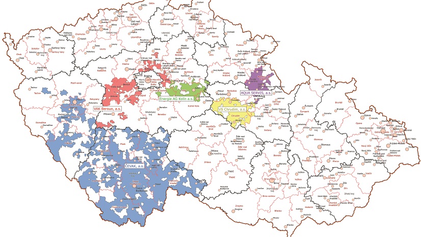
ArcGIS technology provides CEVAK with a powerful tool that enables them to modernize utility workflows, and increase efficiency and collaboration
