Most recent
Geospatial Solutions Support Metropolitan Utilities District’s Vision for the Future
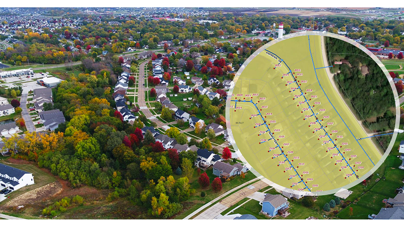
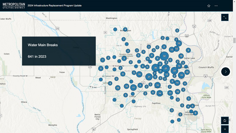
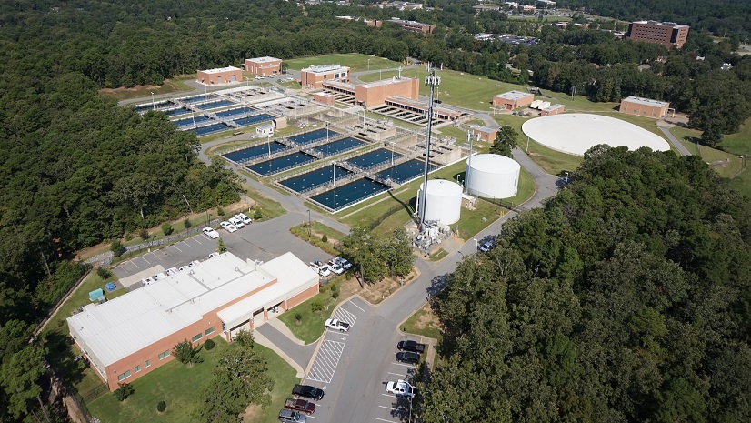
M.U.D. implemented ArcGIS Enterprise and Utility Network, resulting in an accurate, real-world data model with full network connectivity.
Most recent
M.U.D. implemented ArcGIS Enterprise and Utility Network, resulting in an accurate, real-world data model with full network connectivity.
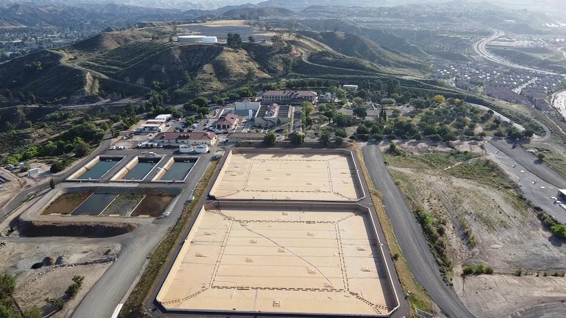
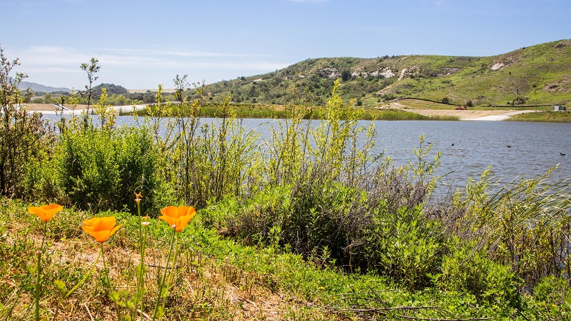
SCV Water implemented ArcGIS as a unified framework to manage linear and vertical assets, bridging the gap between traditionally siloed workflows
Aqua America uses ArcGIS Experience Builder to manage water service disruptions and inform customers across multiple states.
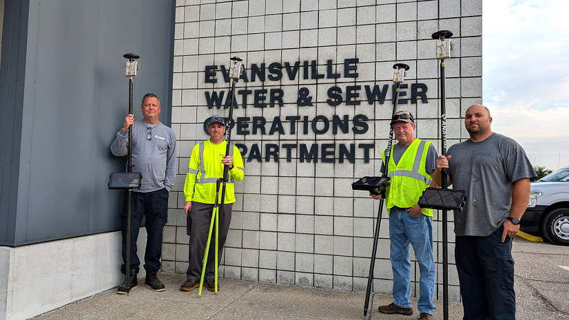
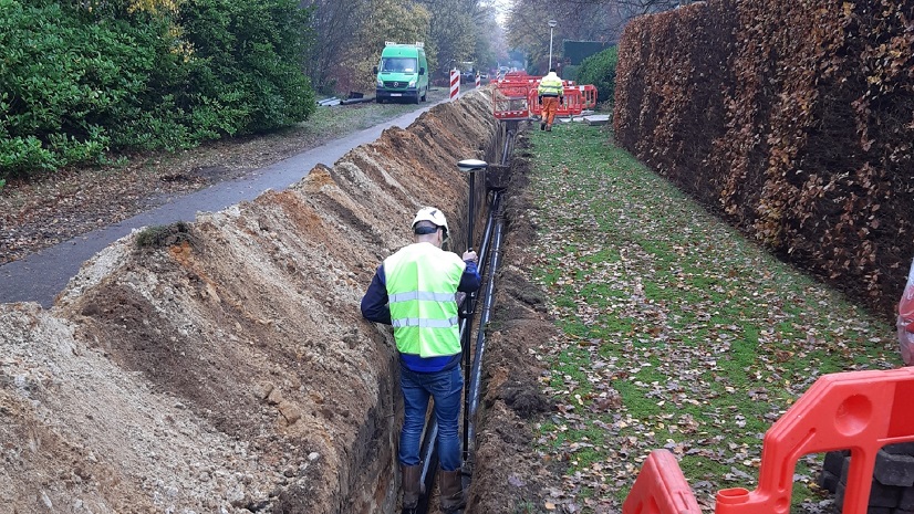
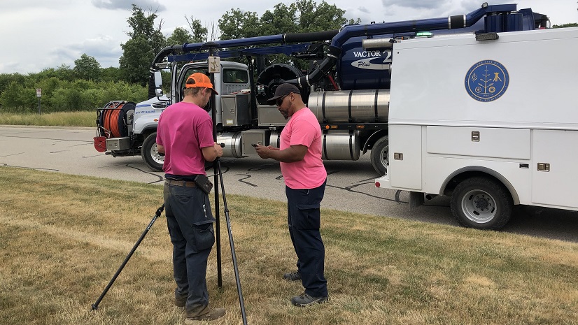
Evansville Water and Sewer Utility improves data quality and workflow efficiency with ArcGIS Utility Network and Arrow Gold receivers.

At Mustang Special Utility District, the integration of ArcGIS has fundamentally transformed how infrastructure is managed.

GIS based workflows and data analytics for non-revenue water help streamline and solidify decision-making at Hampton Shaler Water Authority.

ArcGIS for AutoCAD enables Waternet to significantly improve operational efficiency and data management capabilities.

The city of Brandon implemented an innovative GIS based water outage management system to reduce response times and notify residents.

After making the switch from water utility GIS specialist to working at Esri, here are my favorite Esri resources I never knew about.
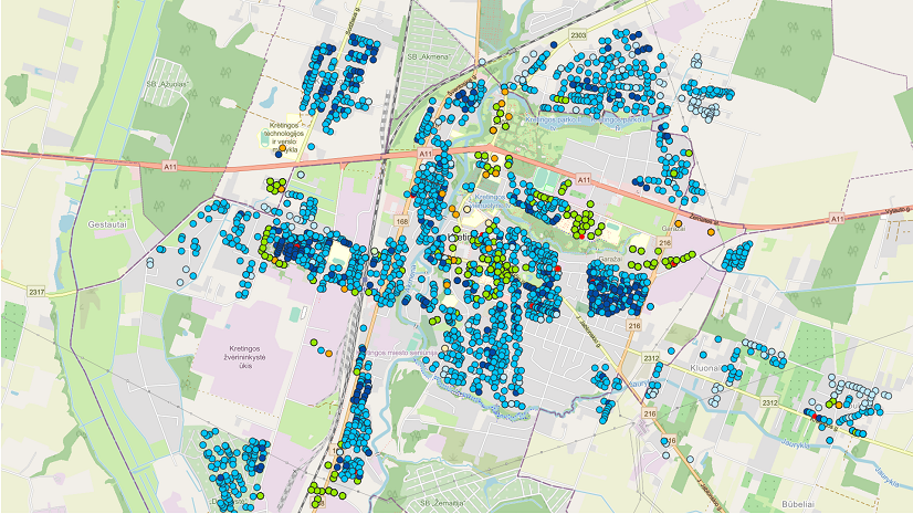
ArcGIS has become an essential tool at Kretinga Waters in optimizing operations and making informed decisions.
ArcGIS provides a lifeline for Central Arkansas Water staff, making critical information available on a daily basis.
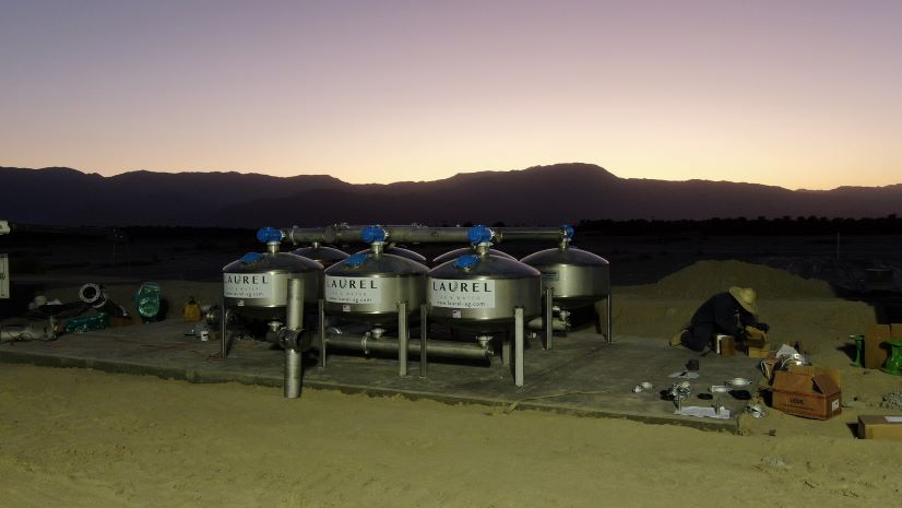
Laurel Ag & Water implements GIS based solutions to meet organizational goals and enable future expansion.
Implementing GIS and GPS enabled LCID staff to easily view record drawings, asset information, and collect asset locations.