Most recent
Geospatial Solutions Support Metropolitan Utilities District’s Vision for the Future
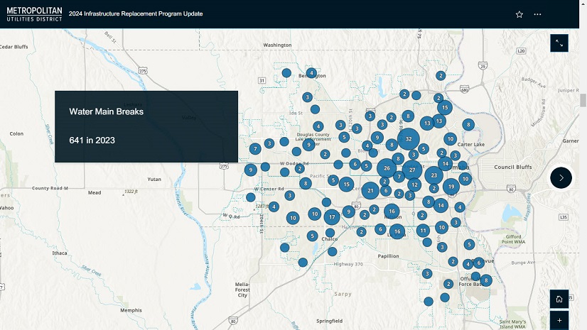
M.U.D. implemented ArcGIS Enterprise and Utility Network, resulting in an accurate, real-world data model with full network connectivity.
Most recent
M.U.D. implemented ArcGIS Enterprise and Utility Network, resulting in an accurate, real-world data model with full network connectivity.
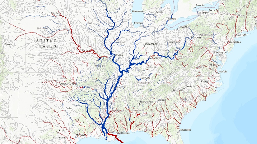
GIS based tools automate aspects of Elevation-Derived Hydrography extraction as part of transition from NHD to 3DHP.
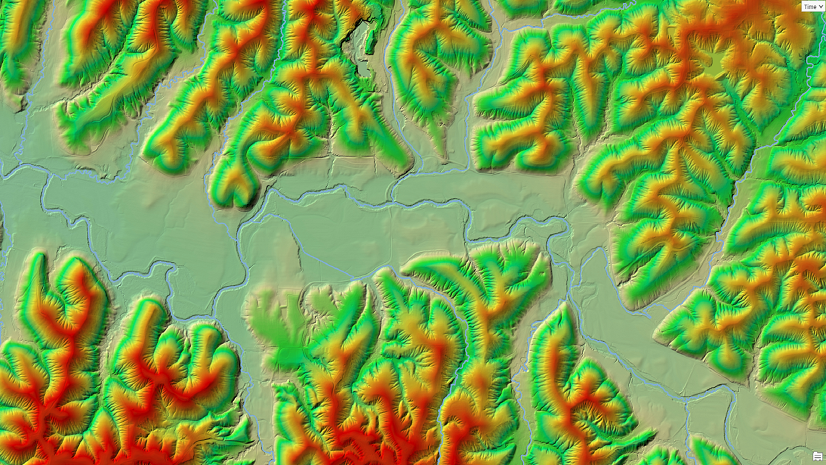
The 3D hydrography program focuses on updating and integrating elevation and hydrography data into an integrated 3D model.
Washington State to create a standardized, integrated set of elevation-derived data for hydrography mapping and analysis.
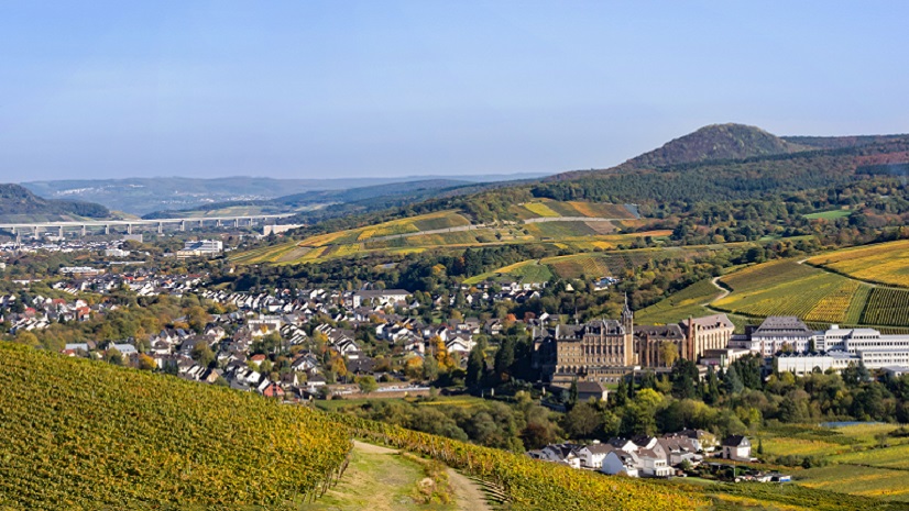
Berthold Becker GmbH is using GIS and digital twin technology to improve the response to the Ahr Valley flood disaster that occurred in 2021.
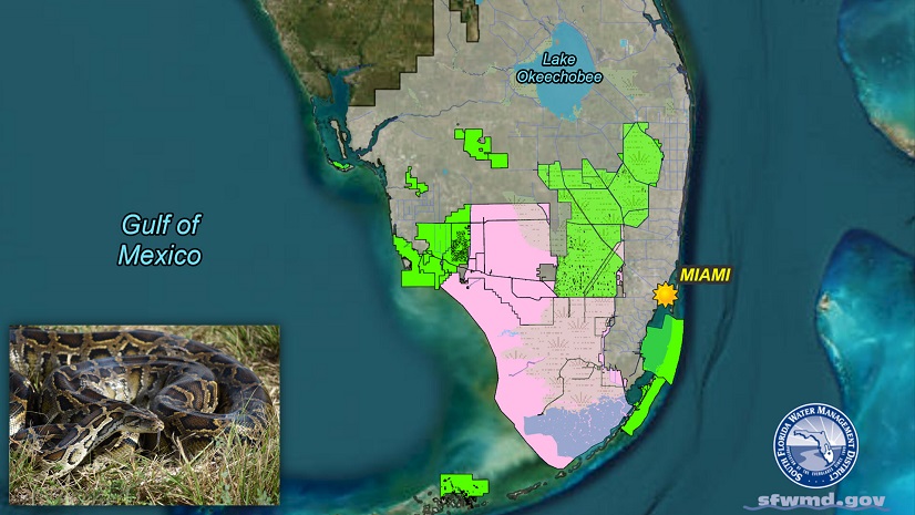
SFWMD leveraged Esri technology to streamline invasive snake species removal and improve data quality.
Millions of people across the globe are affected by flooding. GIS technology helps predict where flooding will occur and who is impacted.
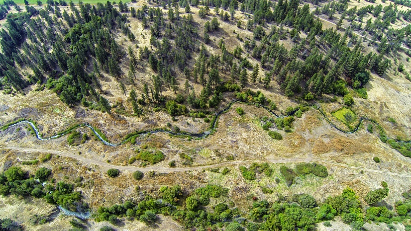
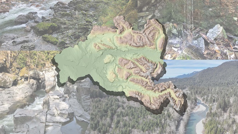
Using ArcGIS and a community-based approach The Freshwater Trust was able to complete analyses and propose solutions for water basins.

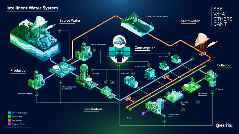
ArcGIS Platform offers location services to elevate utility apps.
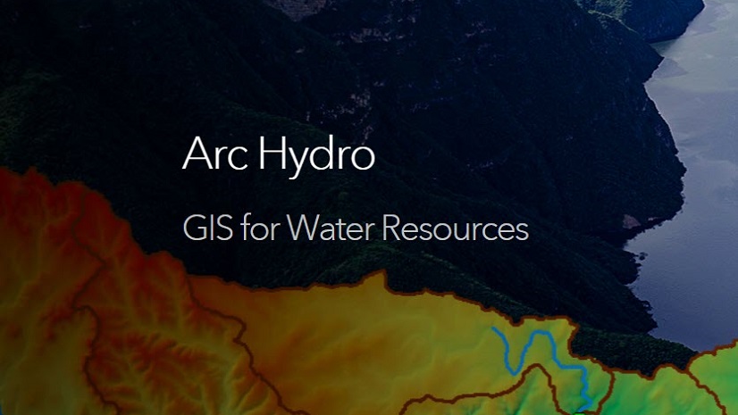
Finding Water Resources and Arc Hydro content in the Esri Community.
The Esri Water team has updated their Industry web pages. Find new content specific to water utilities and water resources.