Most recent
GIS and Artificial Intelligence for Precise Damage Assessments
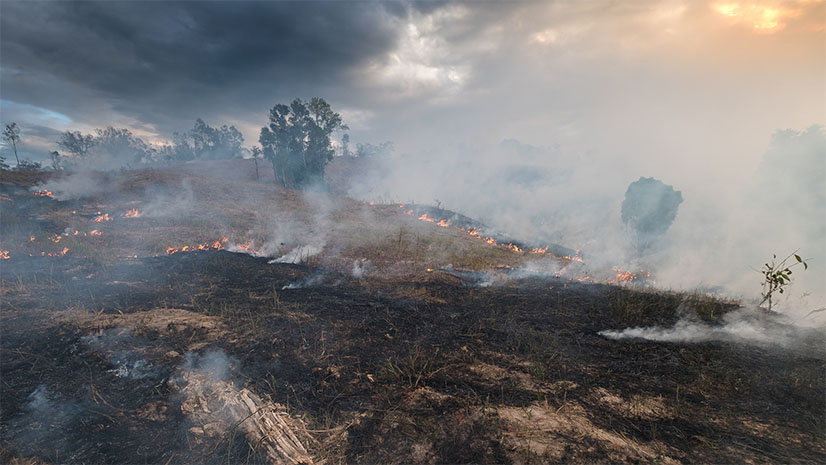
Explore how GIS and AI revolutionize damage assessments post-disasters like Lahaina's wildfires with Esri's deep learning model.
Most recent
Explore how GIS and AI revolutionize damage assessments post-disasters like Lahaina's wildfires with Esri's deep learning model.

In this edition of our Crime Analysis blog series, we will discuss hot spot analysis and methods of creating and comparing hot spots using ArcGIS
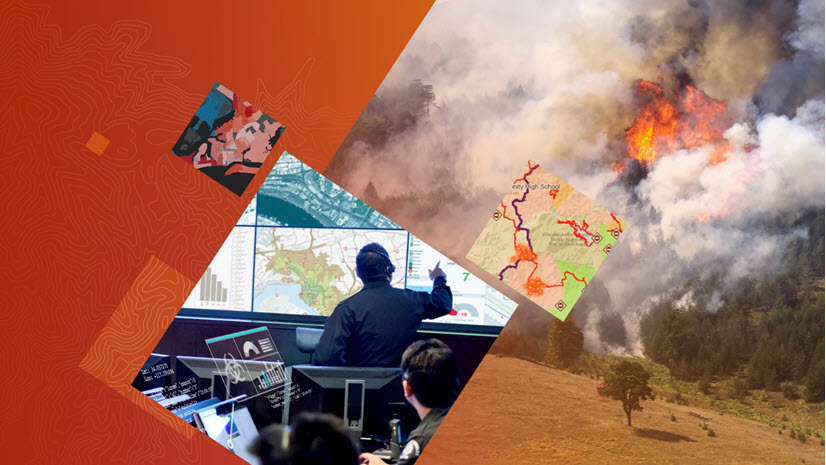
Join Esri public safety personnel and subject matter experts as they provide a four-part webinar series for incident management team personnel.