
Most recent
Park Perspective Series: A Pathway to Healthier, Happier Communities with GIS
Explore five health benefits to be derived from leveraging GIS tools to plan and manage parks.
Most recent
Explore five health benefits to be derived from leveraging GIS tools to plan and manage parks.
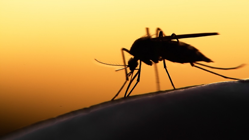
GIS is more than just a tool; it's a part of the solution in our global fight against vector-borne diseases.
Recognizing National Mosquito Control week, Esri Chief Medical Officer highlights technology that can aid health departments.
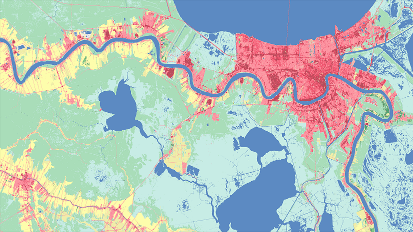
Urban heat islands refer to cities becoming warmer than neighboring rural regions. Learn how GIS can help you combat such climate change.
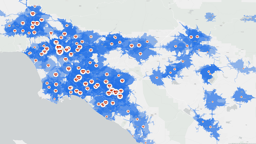
Health emergencies require complex response efforts, learn how a geodatabase can help enhance your efforts.

Geographic information serves as the common denominator for any public health crisis read how you can use GIS in slowing the spread of monkeypox.

With the heightened role of GIS due to the pandemic, now is the time to capitalize on lessons learned, best practices, and repeatable patterns.