
Most recent
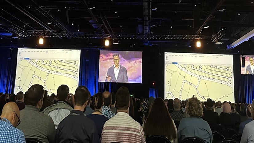
3D Cadastre Front and Center at 2024 IAAO Annual Conference
The plenary keynote at the 2024 IAAO Annual Conference covered 3d cadastre in GIS and how it supports taxation and valuation.
Most recent
The plenary keynote at the 2024 IAAO Annual Conference covered 3d cadastre in GIS and how it supports taxation and valuation.

Through firm and project management, collaboration, field safety, and drone use, learn how surveyors can leverage GIS to optimize workflows.

Be prepared to approach migration to ArcGIS Pro with confidence and complete the process before ArcMap deprecation.

Esri & Trimble partner to offer high-accuracy GNSS in LAMP, aiding data collection for land agencies in developing nations.
Check out Esri's trending topics that were discussed on parcel mapping at the 2023 Esri User Conference (UC).

24 teams from across the U.S. participated in the National Society of Professional Surveyors (NSPS) annual student competition.

Right-of-Way acquisition and management are key for successful infrastructure projects. GIS plays a vital role in supporting these processes.
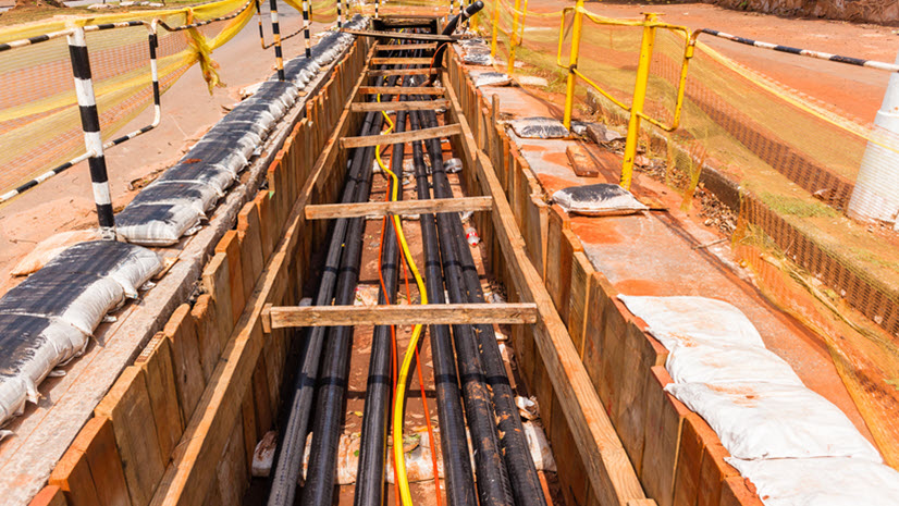
GIS enables sharing data from the infrastructure development lifecycle with the right-of-way lifecycle.

Learn what you can do right now to help bring in or maintain revenue and help keep county services that taxpayers rely on.