Most recent
Exploring the Role of GIS in Homeland Security: GIS and Real-Time Threat Management
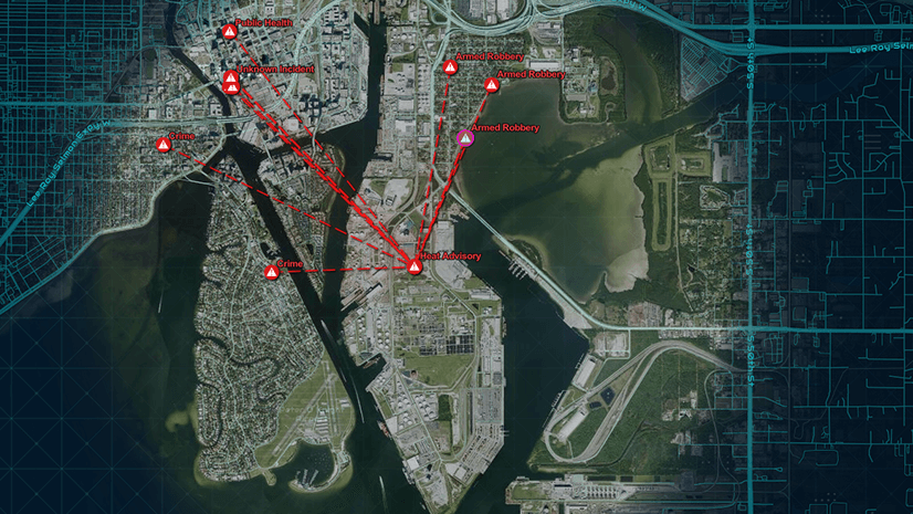
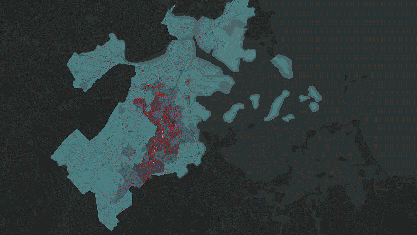
GIS enhances real-time threat management by integrating sensor data, mapping incidents, and enabling rapid, informed decision-making.
Most recent
GIS enhances real-time threat management by integrating sensor data, mapping incidents, and enabling rapid, informed decision-making.

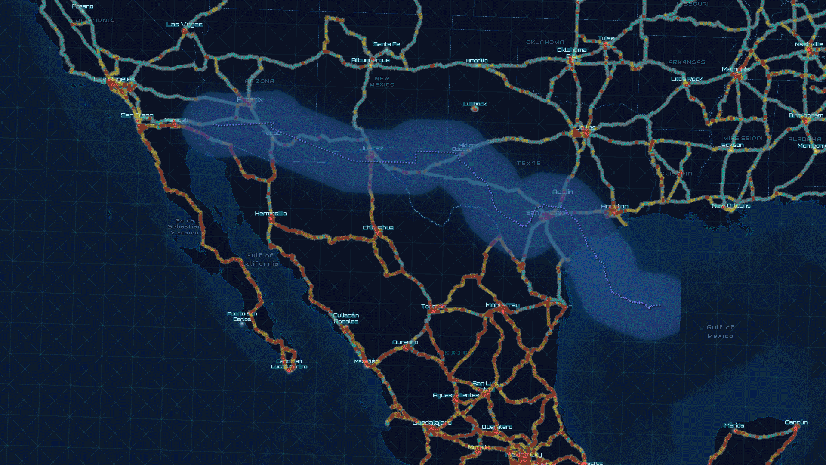
Explore how GIS revolutionizes border security with insights, analytics, and collaboration for effective threat management.
Our new series explores how GIS empowers homeland security with actionable insights, from border security to threat management.
Transform the homeland security enterprise with a geospatial concept of operations.

GIS enhances port security by unifying mission requirements, improving decision-making, and mitigating threats with real-time data integration.
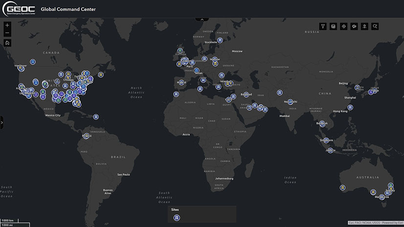
Lockheed Martin uses ArcGIS to visualize global risks, map threats, and act swiftly, redefining global security and ensuring employee safety.