Most recent
Spectral Profiles: Canserina Kurnia
An interview-style blog featuring Esri senior solution engineer, Canserina Kurnia's education and career journey with imagery and remote sensing.
Most recent
An interview-style blog featuring Esri senior solution engineer, Canserina Kurnia's education and career journey with imagery and remote sensing.
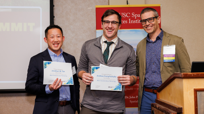
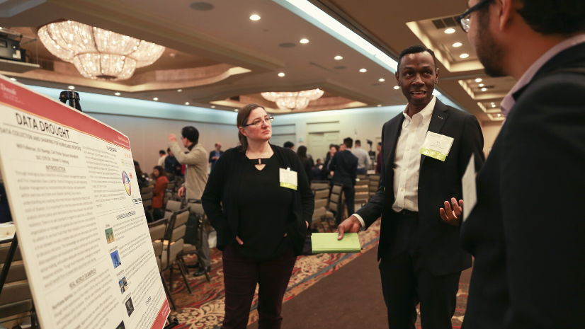
The annual Los Angeles Geospatial Summit, hosted by the Spatial Sciences Institute at USC, gathered students and professionals to explore cutting
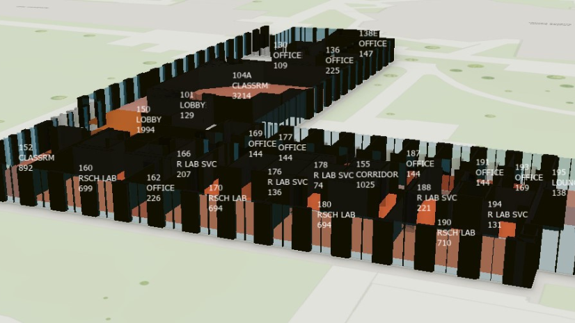
The decision process, implementation challenges, data migration, and financial impacts of replacing legacy CAFM systems with ArcGIS Indoors.
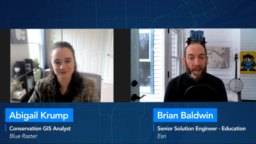
Abigail Krump from Blue Raster offers insights for those looking to get into the GIS field and how she followed her passion.

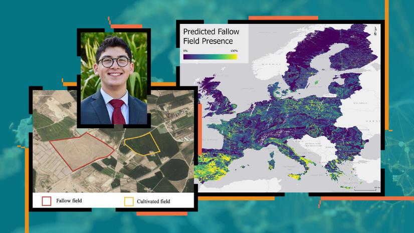
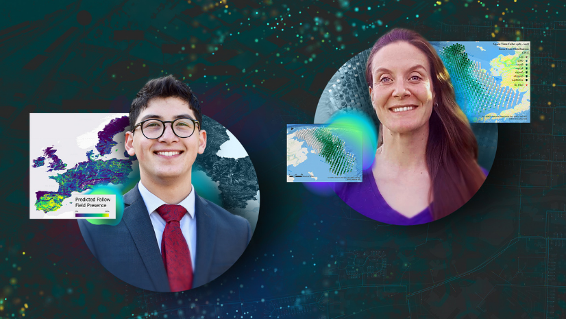
Students at USC presented their geospatial projects to industry leaders and peers for the chance to win Esri's StoryMaps competition.
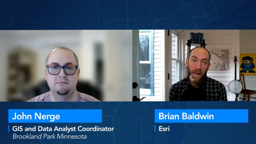
In this "Industry Voice of Modern GIS" segment we interview John Nerge where he provides insights on what employers look for in the GIS field.

Advice from a CIO in GIS for Westchester County to recent graduates looking to get hired in industry.

Each year USC hosts the Los Angeles Geospatial Summit. Three student teams won at the Esri Student Poster Competition at this year's event.

In this video interview, Matt Gaffner discusses the top GIS skills and types of experience that industries are looking for in job candidates.

The expansion of Location Analytics at ASU enables students to solve problems and think critically about key business issues.

GIS education must keep pace with changes in GIS technology and industry. Learn what educators can do to update curriculum to focus on Web GIS.

This ArcGIS Hub site, Intro to GIS Basic Tools, was created for faculty and students spreading GIS throughout multiple departments.
Students in higher education continue to use GIS and ArcGIS technology for innovative projects across disciplines gaining competitive skills.