Most recent
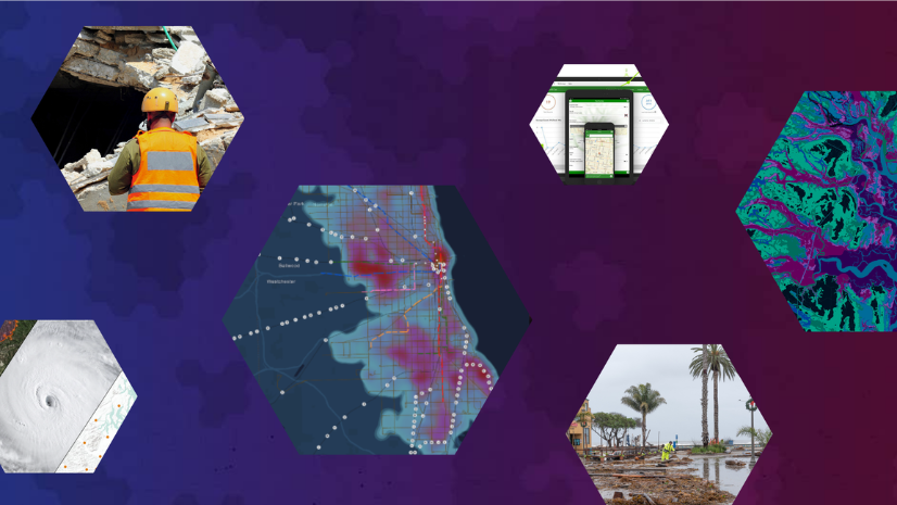
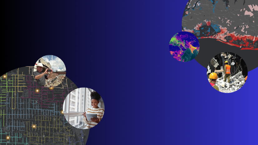
Leveraging Geospatial Artificial Intelligence in Emergency Management
Discover what AI for emergency management means and how it can be used when leveraging GIS technology.
Most recent
Discover what AI for emergency management means and how it can be used when leveraging GIS technology.
Join us as we continue the "How-To" emergency management series to learn about the ArcGIS products and solutions tailored for EM workflows.
We continue the "How-To" emergency management series to share a few ArcGIS resources.

Continue with us on the How-To blog series to learn how you can use FEMA Grant Programs to expense GIS technology.

Learn more about the new Watch Center solution powered by ArcGIS Solutions.
We continue the "how-to" emergency series and understand the language you can use to justify purchasing ArcGIS via an investment request.

We continue the emergency management "How-To Blog" series to discuss key questions to ask to obtain ArcGIS licenses.

Join us on a new emergency management how-to series to navigate your way through GIS technology.

Esri’s updated Damage Assessment solution aligns to FEMA’s 3.2.9 survey templates, most notably Individual Assistance and Public Assistance.
Esri releases update to the Emergency Management Operations solution.