
Most recent
What Community Development Professionals Can Expect at the Esri User Conference
A community development professional's guide for events and sessions at the annual Esri User Conference.
Most recent
A community development professional's guide for events and sessions at the annual Esri User Conference.
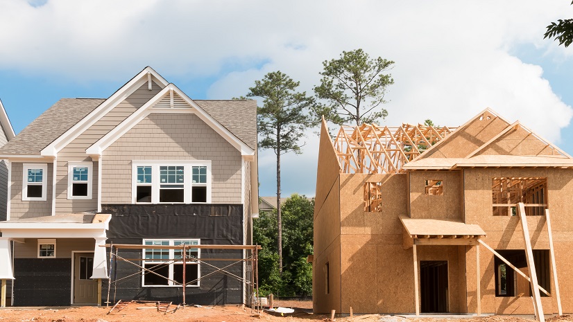
Planning professionals are at the center of managing the housing crisis. GIS helps drive and present a data-driven strategy for their communities

Planners need to embrace a data-driven approach with GIS to build sustainable communities.

Adopting geospatial technology helps planning professionals to create innovative solutions and design a thriving community.

Learn how planners can take a data-driven approach to further quantify and qualify planning recommendations.

Location is going to be a key factor in COVID-19 planning. Here are three tools that can help justify your policy decisions.

Explore this briefing about ArcGIS apps that planning departments need to help make better, more sustainable, and more justifiable decisions.

GIS has always been used in this arena to design land use and sites, but this evolving technology is now being used by to help validate policy.

As planners are impacted by an increase in counter-urbanization GIS can help planners prepare in the short and long term.

Planners are participating in policymaking beyond just typical changes in zoning and land use. One of which is managing homelessness.