Most recent
When Planning and Economic Development Converge
Sometimes a crisis can bring those with differing views together. America's housing crisis does that for planning and economic development.
Most recent
Sometimes a crisis can bring those with differing views together. America's housing crisis does that for planning and economic development.
GIS is an essential tool for any planning department. Here is where we see it making the biggest impact in 2025.

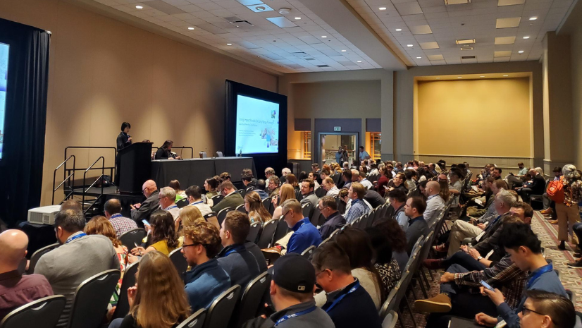
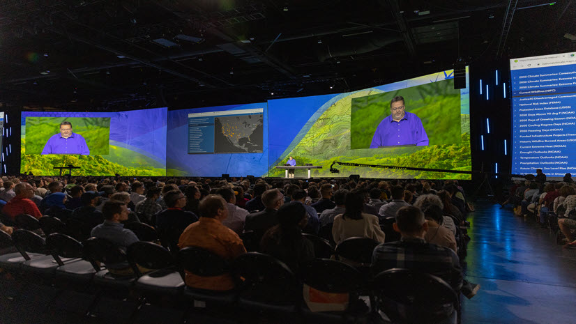
The inaugural Esri Planning Directors Summit was held in West Palm Beach. This was unique opportunity for planning leaders from across the nation

The Esri Planning Directors Summit is a unique opportunity for planning leaders to learn about the role of GIS in their projects.

With the use of GIS and a geographic approach, planners have never had an easier way to be more directly involved in park planning and design.

The factors around America's housing crisis may make a solution seem out of reach for planners. It's not.
The 2024 Esri UC is a week away and for the 1000+ attendees in planning, here is a useful guide.

Geospatial artificial intelligence (GeoAI) is emerging as a powerful tool to empower community planners.

Regional councils and governments play a key role in understanding and modernizing local government housing policies.

An overview guide for planners to see how Esri is supporting the 2024 National Planning Conference.
The Esri Planning Directors Summit is an opportunity for planning directors to discover how geospatial solutions are being used by planners today
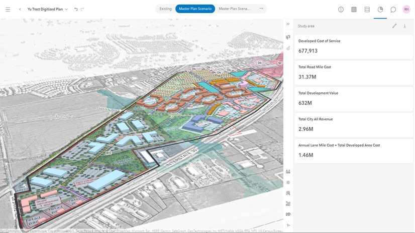
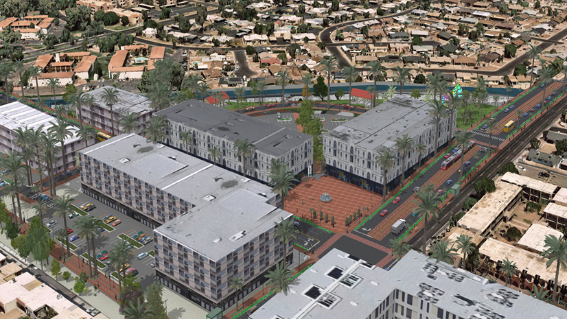
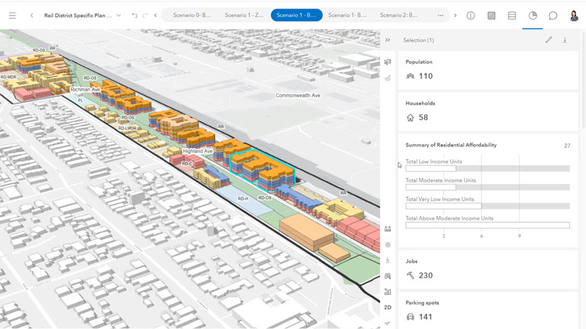
The City of Fate, Texas is taking an innovative approach towards fiscal sustainability with their geographic approach to planning.

APA's innovative Passport program now includes over thirty Esri courses to help planners upskill in GIS.